Transport Functions
Port
Rail
Road
Airport
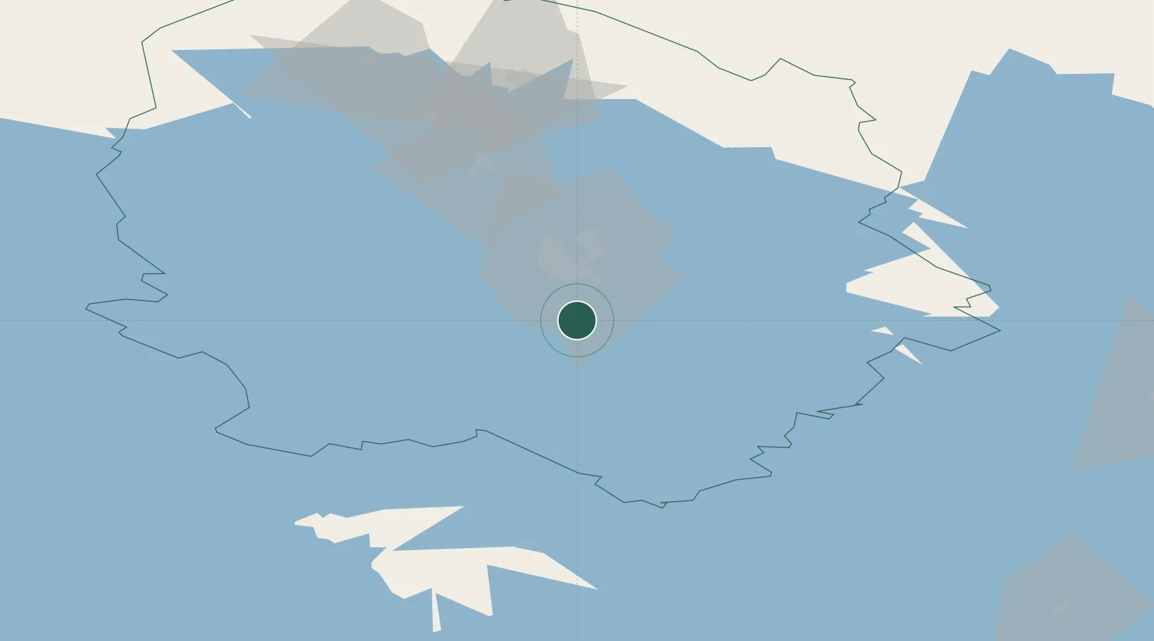
Hub Profile
Place type
Regional capital
Region
North Savo
Population
125,462
Time zone
Europe/Helsinki
Elevation
90 m
Location
Nearby Logistics Neighbours
Cities
- 1Siilinjärvi22 km
- 2Haluna32 km
- 3Maaninka35 km
- 4Niirala39 km
- 5Sorsakoski48 km
Ports
- 1Vyborg247 km
- 2Gavan Vysotsk256 km
- 3Raahe257 km
- 4Hamina259 km
- 5Oulu262 km
Airports
- 1Kuopio Airport15 km
- 2Varkaus Airport80 km
- 3Joensuu Airport102 km
- 4Jyväskylä Airport116 km
- 5Savonlinna Airport123 km
Trade Zones
DatabookThe Record of Consolidated Knowledge
Finland beyond logistics?