Transport Functions
Port
Rail
Road
Airport
Border Crossing
Hub Profile
Place type
District seat
Region
North Savo
Population
19,603
Time zone
Europe/Helsinki
Elevation
76 m
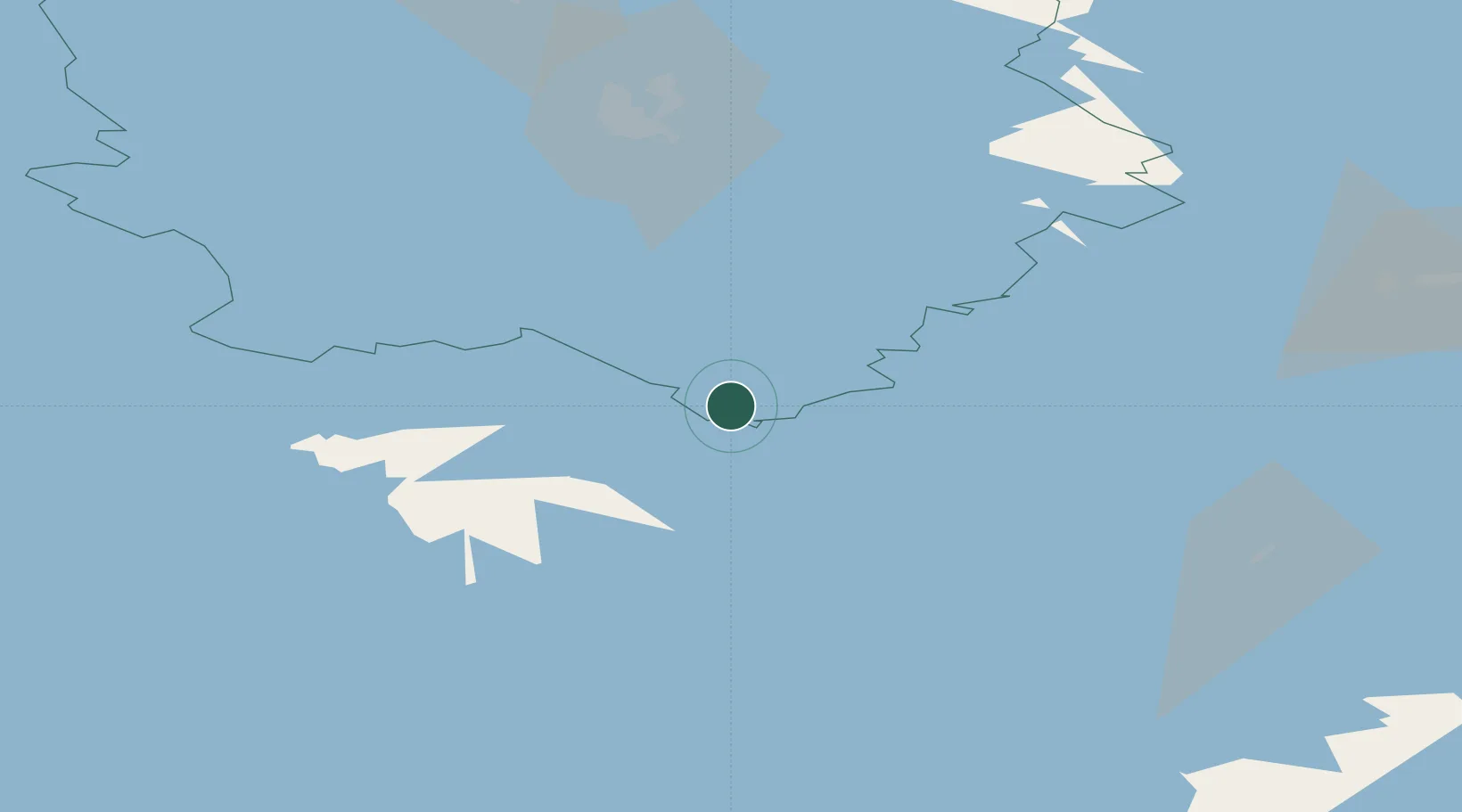
Location
Nearby Logistics Neighbours
Cities
- 1Sorsakoski20 km
- 2Niirala27 km
- 3Asikkala41 km
- 4Naarajärvi42 km
- 5Haukivuori49 km
Ports
- 1Vyborg184 km
- 2Gavan Vysotsk192 km
- 3Hamina198 km
- 4Kotka212 km
- 5Primorsk220 km
Airports
- 1Varkaus Airport16 km
- 2Savonlinna Airport68 km
- 3Kuopio Airport77 km
- 4Mikkeli Airport79 km
- 5Joensuu Airport96 km
Trade Zones
DatabookThe Record of Consolidated Knowledge
Finland beyond logistics?