Transport Functions
Port
Rail
Road
Hub Profile
Region
15
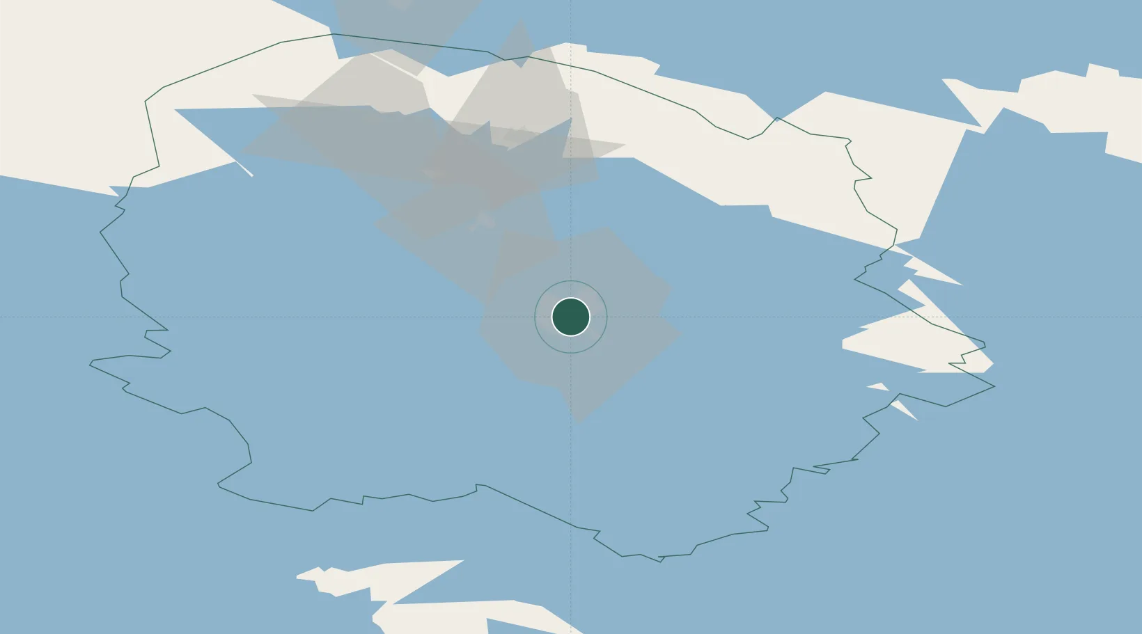
Location
Nearby Logistics Neighbours
Cities
- 1Haluna18 km
- 2Maaninka20 km
- 3Kuopio22 km
- 4Varpaisjärvi32 km
- 5Lapinlahti34 km
Ports
- 1Raahe239 km
- 2Oulu242 km
- 3Vyborg269 km
- 4Gavan Vysotsk278 km
- 5Hamina281 km
Airports
- 1Kuopio Airport11 km
- 2Varkaus Airport102 km
- 3Joensuu Airport110 km
- 4Jyväskylä Airport127 km
- 5Kajaani Airport134 km
Trade Zones
DatabookThe Record of Consolidated Knowledge
Finland beyond logistics?