Transport Functions
Rail
Road
Multimodal
Hub Profile
Place type
Populated place
Region
North Savo
Time zone
Europe/Helsinki
Elevation
149 m
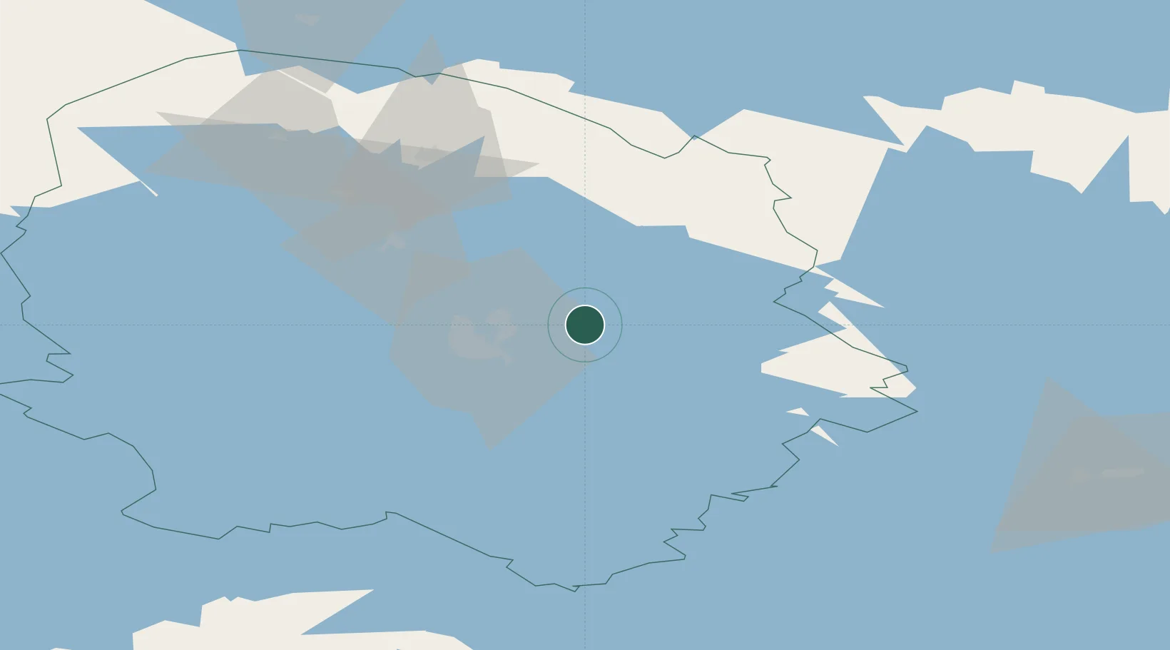
Location
Nearby Logistics Neighbours
Cities
- 1Siilinjärvi18 km
- 2Varpaisjärvi29 km
- 3Kuopio32 km
- 4Maaninka35 km
- 5Lapinlahti40 km
Ports
- 1Oulu245 km
- 2Raahe246 km
- 3Vyborg272 km
- 4Gavan Vysotsk281 km
- 5Hamina289 km
Airports
- 1Kuopio Airport17 km
- 2Joensuu Airport98 km
- 3Varkaus Airport107 km
- 4Kajaani Airport129 km
- 5Savonlinna Airport141 km
Trade Zones
DatabookThe Record of Consolidated Knowledge
Finland beyond logistics?