Transport Functions
Port
Road
Hub Profile
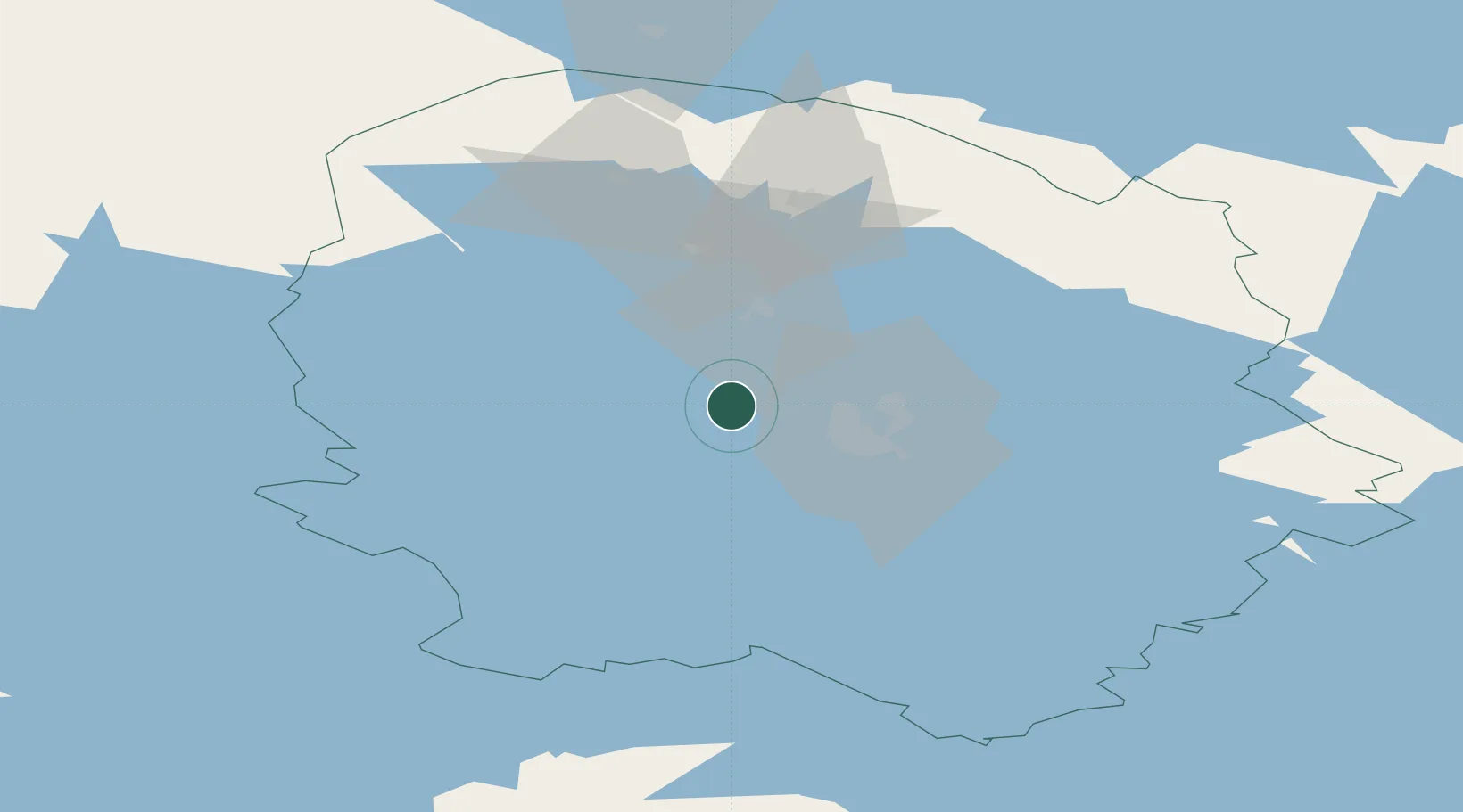
Place type
Populated place
Region
North Savo
Population
3,638
Time zone
Europe/Helsinki
Elevation
88 m
Location
Nearby Logistics Neighbours
Cities
- 1Siilinjärvi20 km
- 2Lapinlahti25 km
- 3Koivulahti29 km
- 4Varpaisjärvi33 km
- 5Haluna35 km
Ports
- 1Raahe221 km
- 2Oulu227 km
- 3Vyborg281 km
- 4Hamina287 km
- 5Gavan Vysotsk289 km
Airports
- 1Kuopio Airport30 km
- 2Varkaus Airport113 km
- 3Jyväskylä Airport117 km
- 4Kajaani Airport128 km
- 5Joensuu Airport130 km
Trade Zones
DatabookThe Record of Consolidated Knowledge
Finland beyond logistics?