UN/LOCODE hub · Finland
FINLS

Nilsia

63.2000°, 28.8333°
1
Transport functions

Transport Functions

Port
UN/LOCODE

Hub Profile

Region
15
GeoNames

Location

Location of FINLS
Natural Earth 10m (public domain) · 15 · FINLS · 63.20, 28.83GoogleOSMYandex

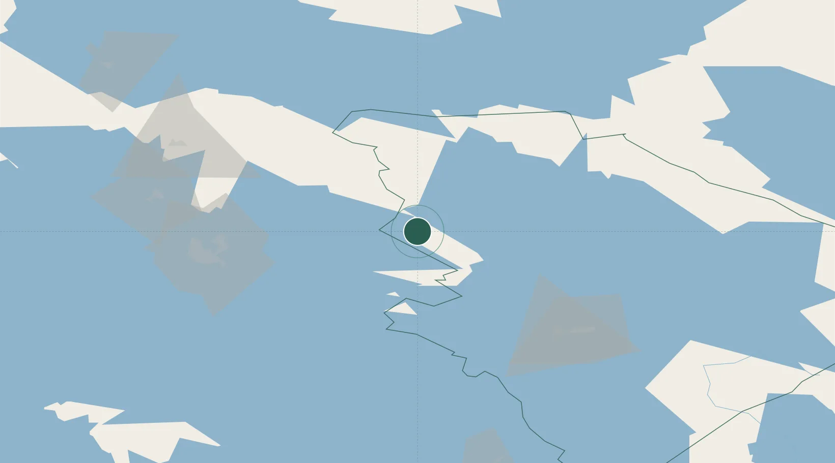
Nearby Logistics Neighbours

Cities
  1. 1Juuka21 km
  2. 2Nurmes41 km
  3. 3Haluna43 km
  4. 4Varpaisjärvi57 km
  5. 5Siilinjärvi60 km
Nearest neighbours — logibook spatial index (haversine) over the source coordinates
Ports
  1. 1Oulu262 km
  2. 2Raahe272 km
  3. 3Vyborg276 km
  4. 4Gavan Vysotsk288 km
  5. 5Hamina305 km
Nearest neighbours — logibook spatial index (haversine) over the source coordinates
Airports
  1. 1Kuopio Airport56 km
  2. 2Joensuu Airport72 km
  3. 3Varkaus Airport125 km
  4. 4Kitee Airport131 km
  5. 5Kajaani Airport133 km
Nearest neighbours — logibook spatial index (haversine) over the source coordinates
Trade Zones
  1. 1Free Zone of Lappeenranta243 km
  2. 2Oulu Port Free Warehouse Area260 km
  3. 3Port of Hamina-Kotka320 km
  4. 4St Petersburg Technology Innovative Special Economic Zone378 km
  5. 5Port of Sillamäe424 km
Nearest neighbours — logibook spatial index (haversine) over the source coordinates
DatabookThe Record of Consolidated Knowledge
Finland beyond logistics?
Browse databook

All Sources

LocationsUN/LOCODE
UN/LOCODE — free
Portsthe NGA World Port Index
Public domain (US gov)
AirportsOurAirports
Public domain
Trade Zonesthe World Bank SEZ database
CC BY 4.0
Trade ZonesOpen Zone Map
CC BY
← Finland locations