Transport Functions
Multimodal
Hub Profile
Place type
Populated place
Region
North Savo
Time zone
Europe/Helsinki
Elevation
102 m
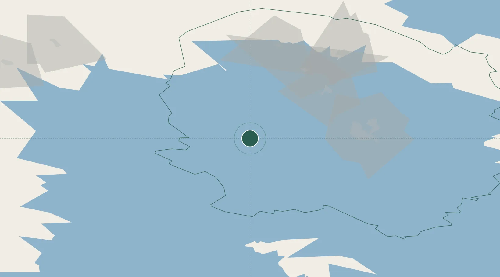
Location
Nearby Logistics Neighbours
Cities
- 1Maaninka29 km
- 2Siilinjärvi45 km
- 3Lapinlahti48 km
- 4Kuopio49 km
- 5Idensalmi (Iisalmi)61 km
Ports
- 1Raahe217 km
- 2Oulu231 km
- 3Hamina275 km
- 4Vyborg277 km
- 5Gavan Vysotsk285 km
Airports
- 1Kuopio Airport51 km
- 2Jyväskylä Airport90 km
- 3Varkaus Airport111 km
- 4Kajaani Airport146 km
- 5Joensuu Airport150 km
Trade Zones
DatabookThe Record of Consolidated Knowledge
Finland beyond logistics?