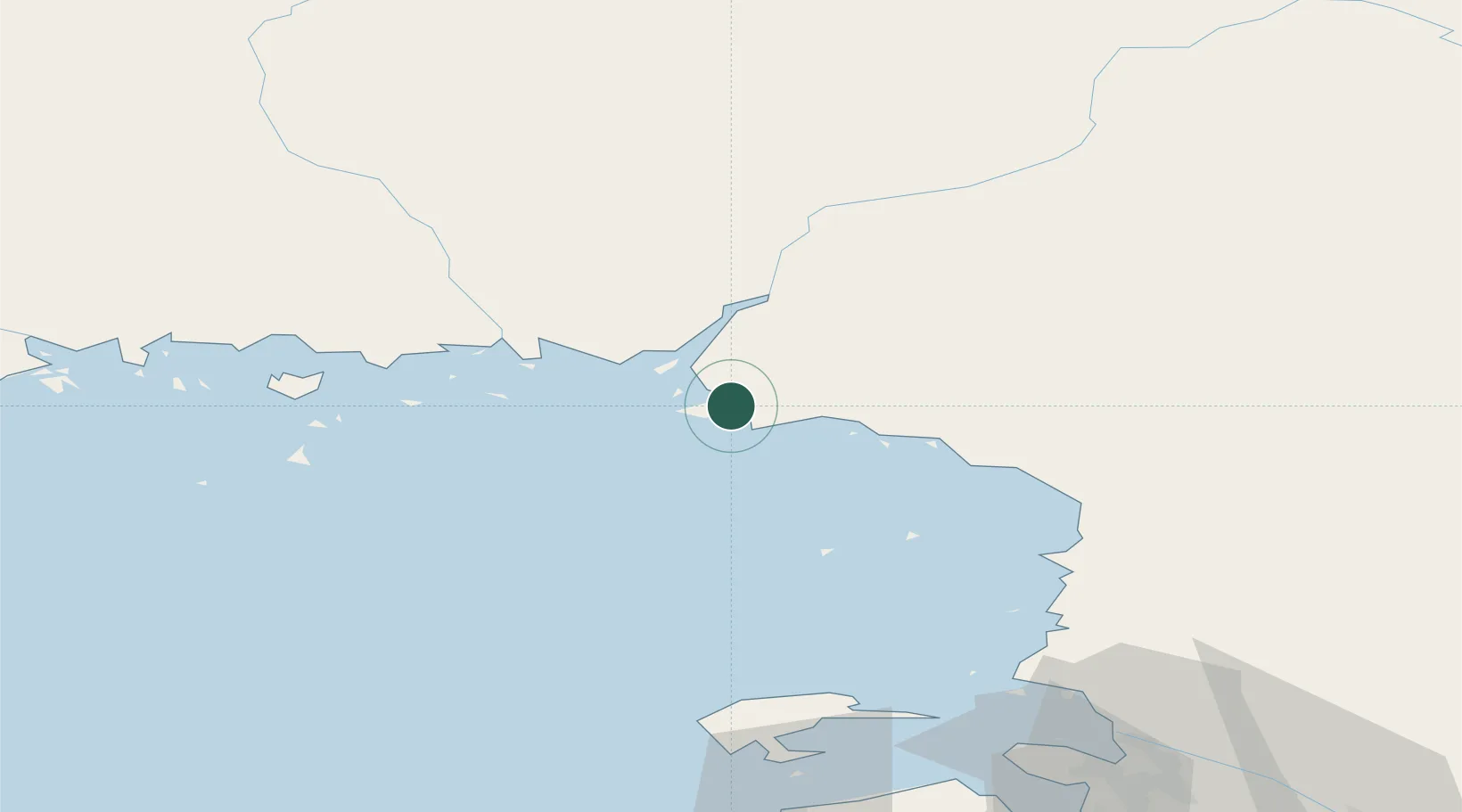
UN/LOCODE hub · Finland
FIVEI

Veitsiluoto

65.6833°, 24.6333°
1
Transport functions

Transport Functions

Port
Veitsiluoto is also a profiled seaport →
UN/LOCODE

Hub Profile

Place type
Populated place
GeoNames
Region
Lapland
GeoNames
Time zone
Europe/Helsinki
GeoNames

Location

Location of FIVEI
Natural Earth 10m (public domain) · Lapland · FIVEI · 65.68, 24.63GoogleOSMYandex

Nearby Logistics Neighbours

Cities
  1. 1Ajos4 km
  2. 2Kemi/Torneå (Kemi/Tornio)6 km
  3. 3Röyttä23 km
  4. 4Torneå (Tornio)23 km
  5. 5Halosenlahti59 km
Nearest neighbours — logibook spatial index (haversine) over the source coordinates
Ports
  1. 1Kemi6 km
  2. 2Tornio23 km
  3. 3Sandvik40 km
  4. 4Karlsborg63 km
  5. 5Oulu82 km
Nearest neighbours — logibook spatial index (haversine) over the source coordinates
Airports
  1. 1Kemi-Tornio Airport11 km
  2. 2Oulu Airport90 km
  3. 3Rovaniemi Airport112 km
  4. 4Luleå Airport116 km
  5. 5Ylivieska Airfield181 km
Nearest neighbours — logibook spatial index (haversine) over the source coordinates
Trade Zones
  1. 1Oulu Port Free Warehouse Area85 km
  2. 2Murmansk Special Economic Zone513 km
  3. 3Free Zone of Lappeenranta544 km
  4. 4Port of Hamina-Kotka591 km
  5. 5Turku Free Zone595 km
Nearest neighbours — logibook spatial index (haversine) over the source coordinates
DatabookThe Record of Consolidated Knowledge
Finland beyond logistics?
Browse databook

All Sources

LocationsUN/LOCODE
UN/LOCODE — free
Portsthe NGA World Port Index
Public domain (US gov)
AirportsOurAirports
Public domain
Trade Zonesthe World Bank SEZ database
CC BY 4.0
Trade ZonesOpen Zone Map
CC BY
← Finland locations