Medium airport · Finland
Sodankyla AirportEFSO
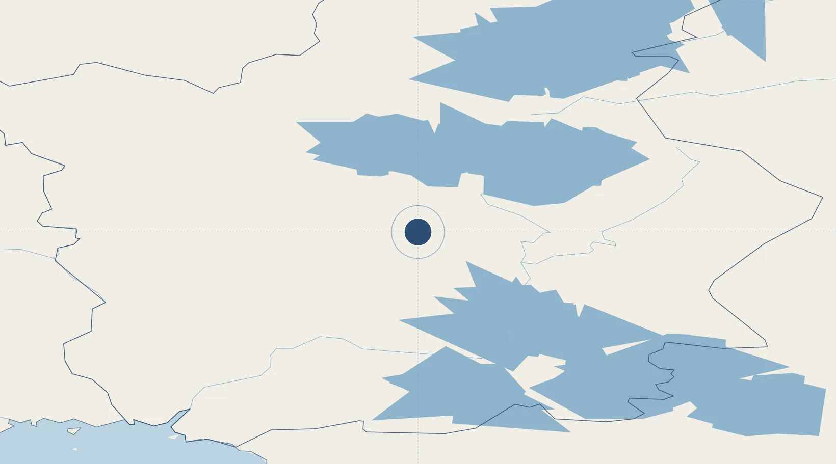
67.3950°, 26.6191°
4,921 ft
Longest runway
1
Runways
602 ft
Elevation
Runway & Layout

Radio Frequencies
AFIS
123.4 MHz
Runways · 1
| Runway | Dimensions | Surface | True heading | Lit |
|---|---|---|---|---|
| 16/34 | 4,921 × 98ft | Asphalt | 165° | ✓ |
Airport Specifications
IATA code
SOT
ICAO code
EFSO
Airport class
Medium airport
Scheduled service
No
Runway surface
Asphalt
Served city
Sodankyla
Location
Nearby Logistics Neighbours
Airports
- 1Kittilä International Airport83 km
- 2Rovaniemi Airport99 km
- 3Ivalo Airport139 km
- 4Pajala Airport153 km
- 5Enontekio Airport172 km
Cities
- 1Halonen88 km
- 2Rovaniemi107 km
- 3Veitsiluoto210 km
- 4Torneå (Tornio)212 km
- 5Ajos213 km
Ports
- 1Kemi206 km
- 2Veitsiluoto208 km
- 3Tornio211 km
- 4Sandvik224 km
- 5Karlsborg231 km
Trade Zones
- 1Oulu Port Free Warehouse Area272 km
- 2Murmansk Special Economic Zone319 km
- 3Free Zone of Lappeenranta710 km
- 4Port of Hamina-Kotka770 km
- 5Turku Free Zone802 km
DatabookThe Record of Consolidated Knowledge
Finland beyond logistics?