Transport Functions
Port
Rail
Road
Airport
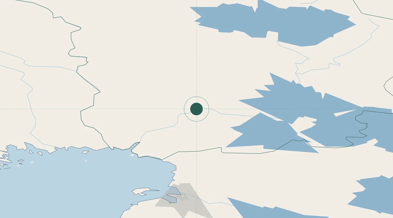
Hub Profile
Place type
Regional capital
Region
Lapland
Population
65,670
Time zone
Europe/Helsinki
Elevation
90 m
Location
Nearby Logistics Neighbours
Cities
- 1Turtola78 km
- 2Halonen81 km
- 3Övertorneå92 km
- 4Veitsiluoto103 km
- 5Ajos106 km
Ports
- 1Kemi100 km
- 2Veitsiluoto102 km
- 3Tornio107 km
- 4Sandvik122 km
- 5Karlsborg134 km
Airports
- 1Rovaniemi Airport9 km
- 2Kemi-Tornio Airport95 km
- 3Sodankyla Airport107 km
- 4Kittilä International Airport139 km
- 5Pajala Airport142 km
Trade Zones
- 1Oulu Port Free Warehouse Area168 km
- 2Murmansk Special Economic Zone413 km
- 3Free Zone of Lappeenranta618 km
- 4Port of Hamina-Kotka673 km
- 5Turku Free Zone695 km
DatabookThe Record of Consolidated Knowledge
Finland beyond logistics?