Transport Functions
Port
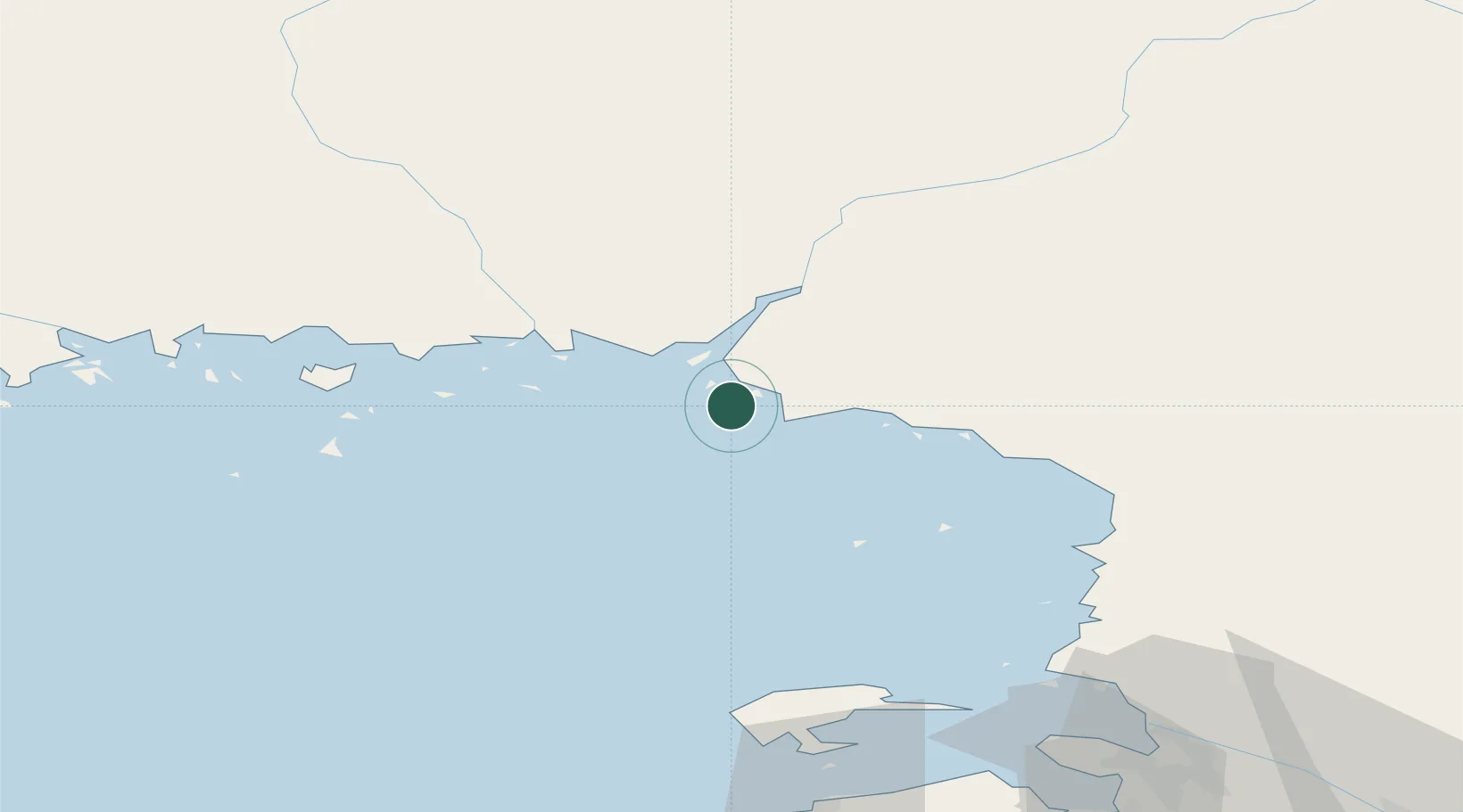
Hub Profile
Place type
Populated place
Region
Lapland
Time zone
Europe/Helsinki
Elevation
13 m
Location
Nearby Logistics Neighbours
Cities
- 1Kemi/Torneå (Kemi/Tornio)2 km
- 2Veitsiluoto4 km
- 3Röyttä21 km
- 4Torneå (Tornio)21 km
- 5Halosenlahti59 km
Ports
- 1Veitsiluoto4 km
- 2Kemi7 km
- 3Tornio21 km
- 4Sandvik37 km
- 5Karlsborg61 km
Airports
- 1Kemi-Tornio Airport13 km
- 2Oulu Airport90 km
- 3Luleå Airport113 km
- 4Rovaniemi Airport115 km
- 5Ylivieska Airfield179 km
Trade Zones
- 1Oulu Port Free Warehouse Area84 km
- 2Murmansk Special Economic Zone516 km
- 3Free Zone of Lappeenranta544 km
- 4Port of Hamina-Kotka590 km
- 5Turku Free Zone593 km
DatabookThe Record of Consolidated Knowledge
Finland beyond logistics?