Transport Functions
Port
Multimodal
Hub Profile
Place type
Populated place
Region
South Savo
Time zone
Europe/Helsinki
Elevation
90 m
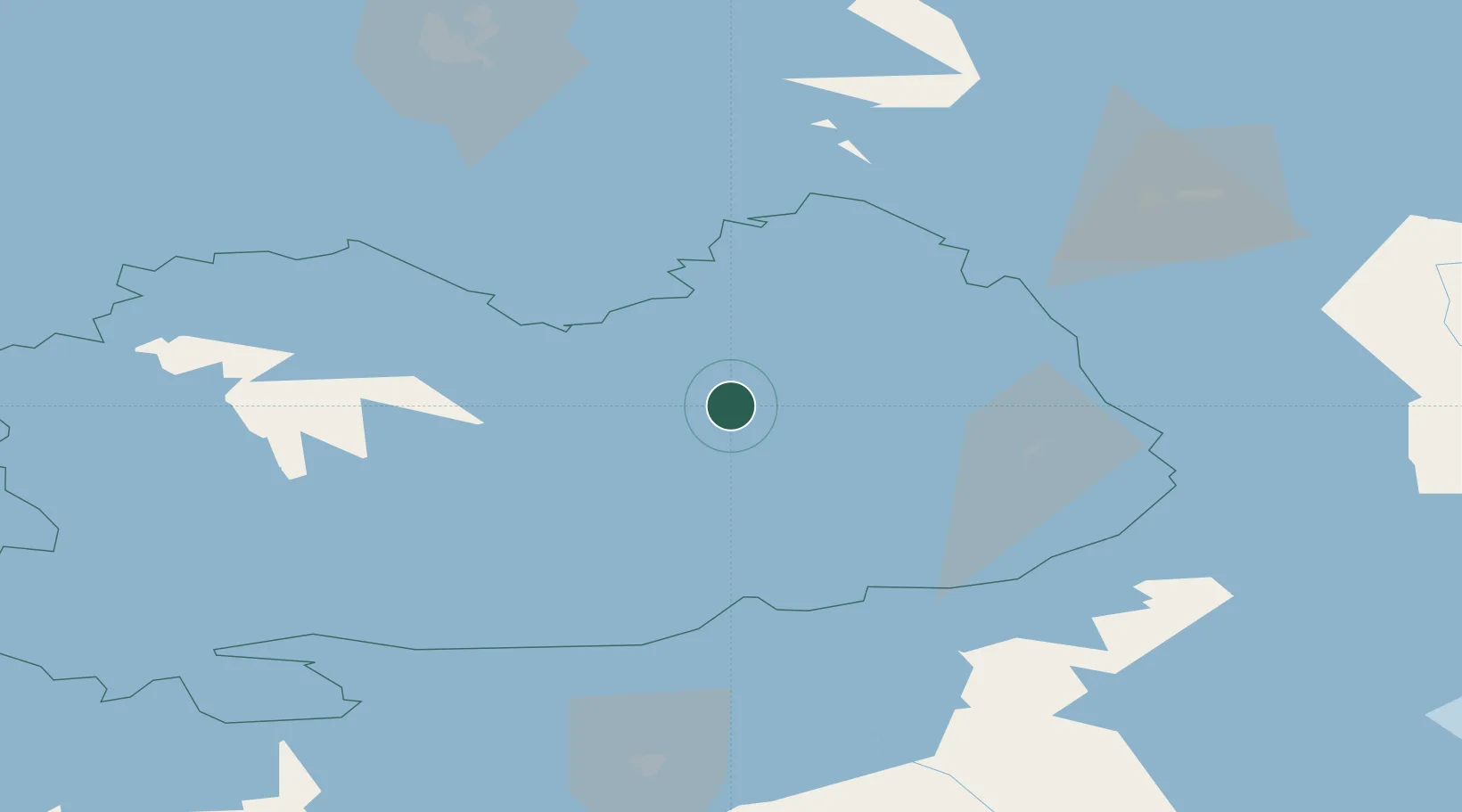
Location
Nearby Logistics Neighbours
Cities
- 1Enonkoski25 km
- 2Nyslott (Savonlinna)32 km
- 3Varkaus41 km
- 4Sorsakoski60 km
- 5Haukivuori64 km
Ports
- 1Vyborg149 km
- 2Gavan Vysotsk160 km
- 3Hamina178 km
- 4Primorsk188 km
- 5Kotka193 km
Airports
- 1Savonlinna Airport29 km
- 2Varkaus Airport32 km
- 3Mikkeli Airport76 km
- 4Kitee Airport86 km
- 5Joensuu Airport91 km
Trade Zones
- 1Free Zone of Lappeenranta114 km
- 2Port of Hamina-Kotka193 km
- 3St Petersburg Technology Innovative Special Economic Zone259 km
- 4Port of Sillamäe295 km
- 5Muuga Free Zone358 km
DatabookThe Record of Consolidated Knowledge
Finland beyond logistics?