Transport Functions
Rail
Road
Hub Profile
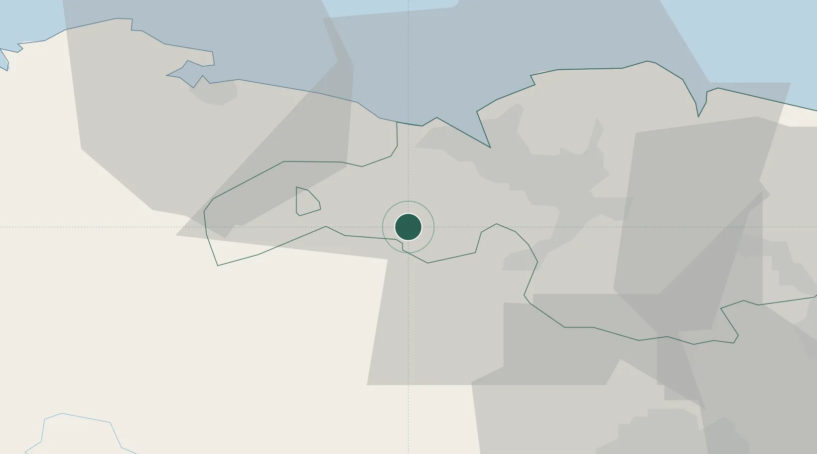
Place type
Populated place
Region
Basque Country
Population
8,379
Time zone
Europe/Madrid
Elevation
500 m
Location
Nearby Logistics Neighbours
Cities
- 1Aranguren1 km
- 2El Corrillo (Zalla)2 km
- 3Güeñes3 km
- 4Gordexola7 km
- 5Arciniega9 km
Ports
- 1Puerto De Bilbao18 km
- 2Bermeo41 km
- 3Santander60 km
- 4Puerto De Pasajes98 km
- 5Bayonne139 km
Airports
- 1Bilbao Airport21 km
- 2Vitoria Airport49 km
- 3Seve Ballesteros-Santander Airport61 km
- 4Burgos Airport102 km
- 5Logroño-Agoncillo Airport106 km
Trade Zones
DatabookThe Record of Consolidated Knowledge
Spain beyond logistics?