Transport Functions
Rail
Road
Hub Profile
Region
BI
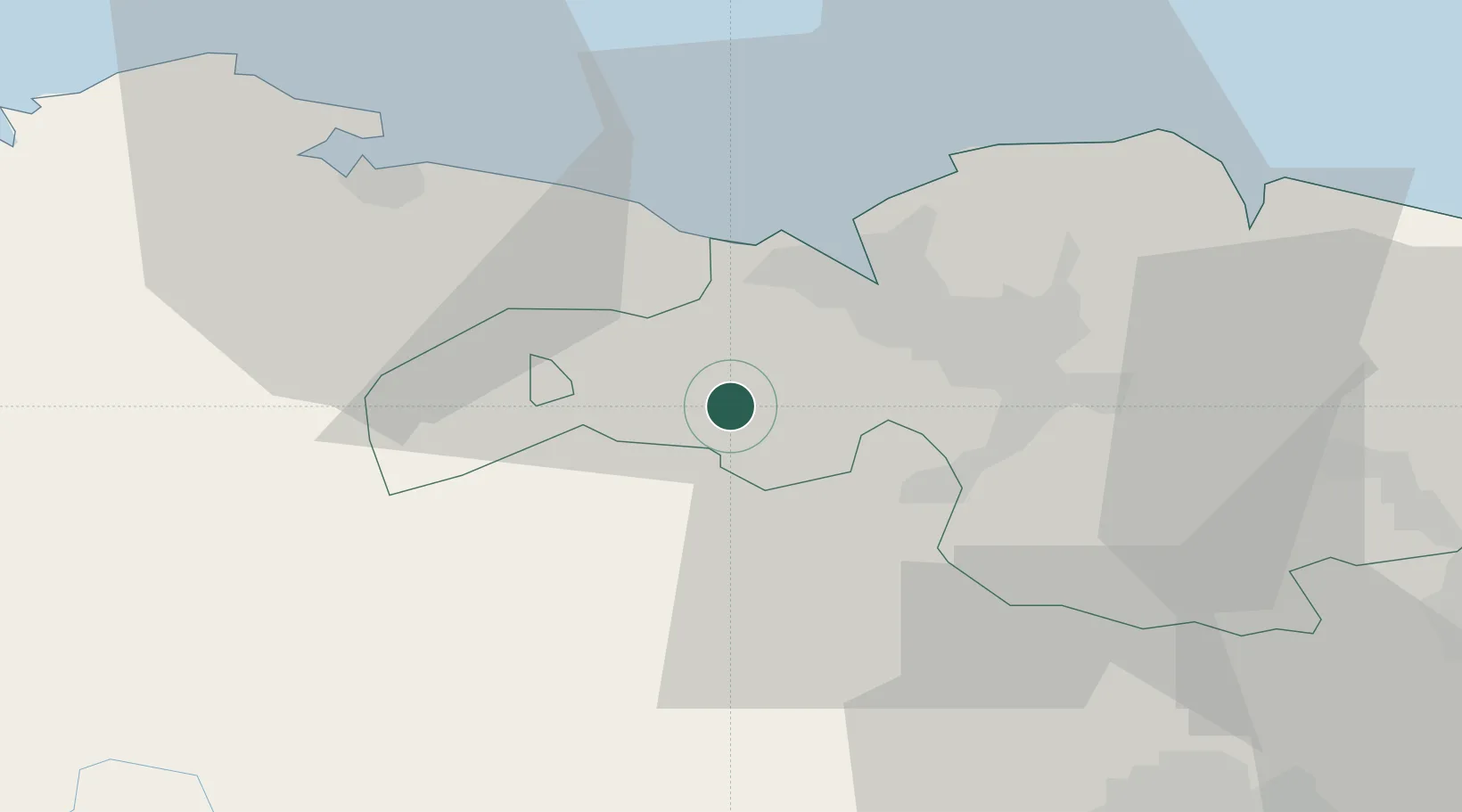
Location
Nearby Logistics Neighbours
Ports
- 1Puerto De Bilbao16 km
- 2Bermeo40 km
- 3Santander60 km
- 4Puerto De Pasajes98 km
- 5Bayonne138 km
Airports
- 1Bilbao Airport20 km
- 2Vitoria Airport50 km
- 3Seve Ballesteros-Santander Airport60 km
- 4Burgos Airport104 km
- 5Logroño-Agoncillo Airport107 km
Trade Zones
DatabookThe Record of Consolidated Knowledge
Spain beyond logistics?