Transport Functions
Rail
Road
Hub Profile
Place type
Populated place
Region
Basque Country
Time zone
Europe/Madrid
Elevation
74 m
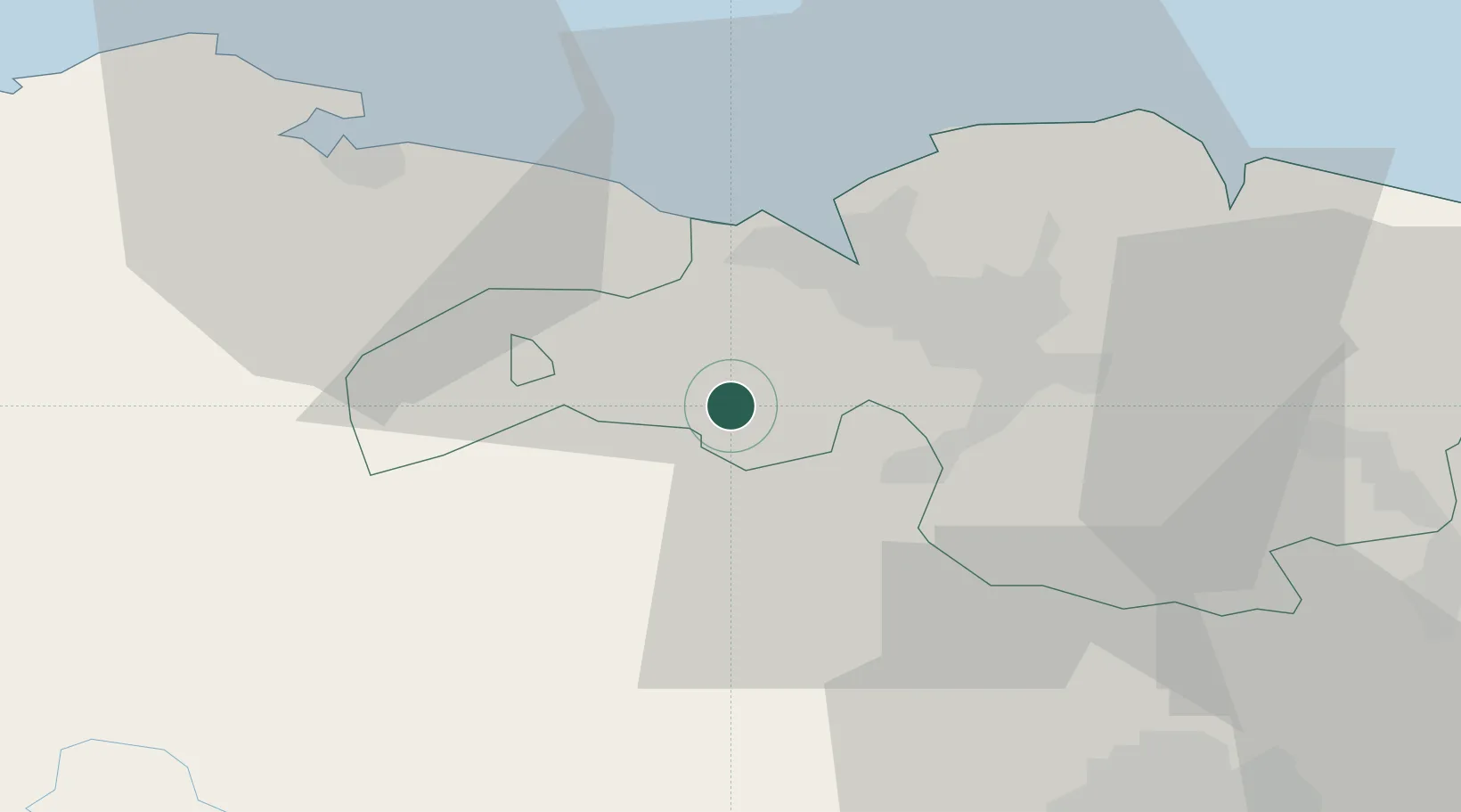
Location
Nearby Logistics Neighbours
Cities
- 1Zalla1 km
- 2El Corrillo (Zalla)2 km
- 3Güeñes2 km
- 4Gordexola6 km
- 5Okondo9 km
Ports
- 1Puerto De Bilbao18 km
- 2Bermeo40 km
- 3Santander62 km
- 4Puerto De Pasajes97 km
- 5Bayonne138 km
Airports
- 1Bilbao Airport20 km
- 2Vitoria Airport48 km
- 3Seve Ballesteros-Santander Airport62 km
- 4Burgos Airport102 km
- 5Logroño-Agoncillo Airport105 km
Trade Zones
DatabookThe Record of Consolidated Knowledge
Spain beyond logistics?