Transport Functions
Rail
Road
Hub Profile
Region
BI
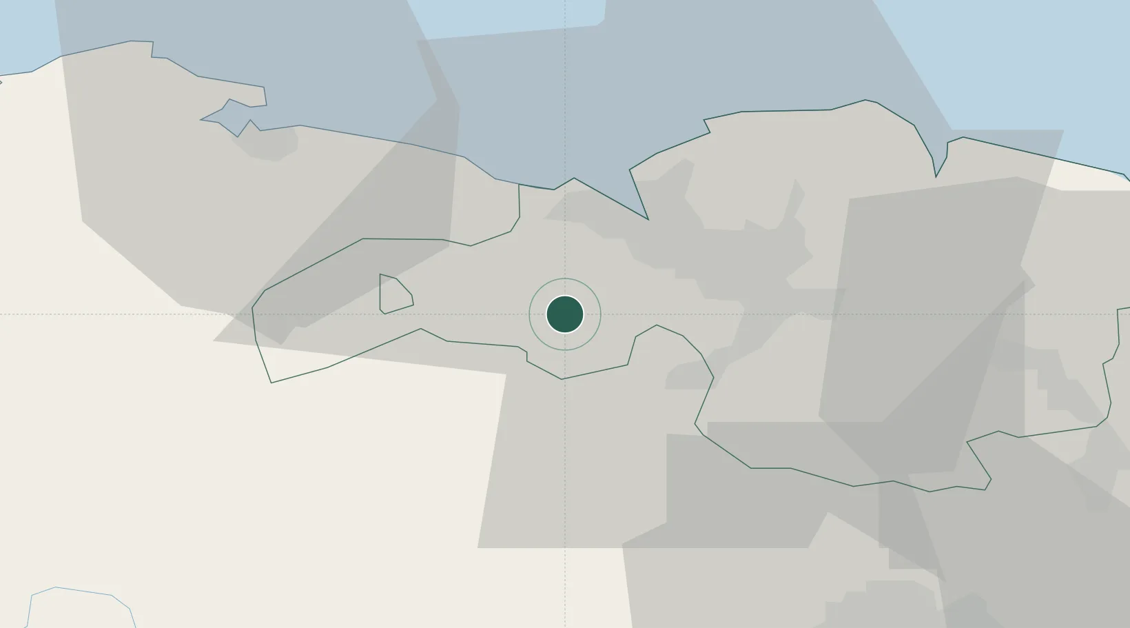
Location
Nearby Logistics Neighbours
Cities
- 1Aranguren2 km
- 2El Corrillo (Zalla)3 km
- 3Zalla3 km
- 4Gordexola6 km
- 5Okondo9 km
Ports
- 1Puerto De Bilbao15 km
- 2Bermeo38 km
- 3Santander62 km
- 4Puerto De Pasajes95 km
- 5Bayonne136 km
Airports
- 1Bilbao Airport18 km
- 2Vitoria Airport48 km
- 3Seve Ballesteros-Santander Airport63 km
- 4Burgos Airport105 km
- 5Logroño-Agoncillo Airport105 km
Trade Zones
DatabookThe Record of Consolidated Knowledge
Spain beyond logistics?