Transport Functions
Rail
Road
Hub Profile
Place type
Populated place
Region
Basque Country
Time zone
Europe/Madrid
Elevation
199 m
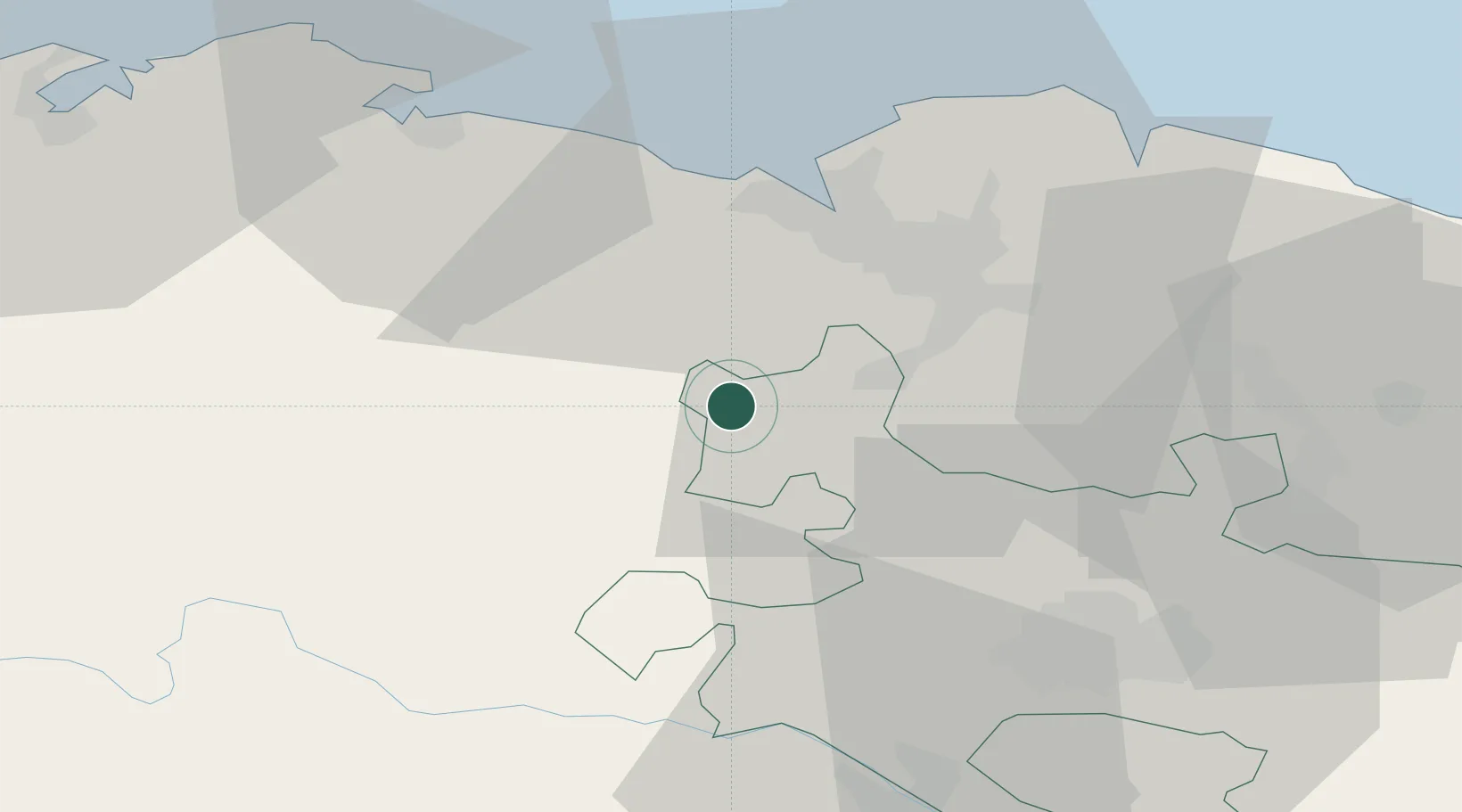
Location
Nearby Logistics Neighbours
Ports
- 1Puerto De Bilbao27 km
- 2Bermeo47 km
- 3Santander67 km
- 4Puerto De Pasajes99 km
- 5Bayonne140 km
Airports
- 1Bilbao Airport26 km
- 2Vitoria Airport41 km
- 3Seve Ballesteros-Santander Airport67 km
- 4Burgos Airport94 km
- 5Logroño-Agoncillo Airport98 km
Trade Zones
DatabookThe Record of Consolidated Knowledge
Spain beyond logistics?