Transport Functions
Multimodal
Hub Profile
Place type
District seat
Region
Extremadura
Population
1,779
Time zone
Europe/Madrid
Elevation
428 m
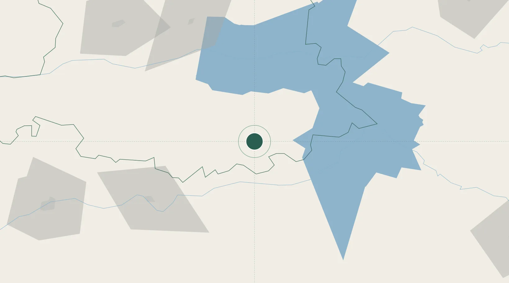
Location
Nearby Logistics Neighbours
Cities
- 1Logrosan20 km
- 2Zurbaran26 km
- 3Valdivia28 km
- 4Almoharin31 km
- 5Orellana la Vieja35 km
Ports
- 1Sevilla215 km
- 2Huelva251 km
- 3Vila Real De S Antonio277 km
- 4Figueira Da Foz286 km
- 5Setubal290 km
Airports
- 1Badajoz Airport106 km
- 2Ciudad Real International Airport157 km
- 3Aerodromo de Castelo Branco162 km
- 4Estremoz Municipal Heliport173 km
- 5Córdoba Airport177 km
Trade Zones
- 1Zona Franca de Sevilla218 km
- 2Depósito Franco de Madrid-Aeropuerto223 km
- 3Puerto de Huelva251 km
- 4Depósito Franco de Málaga270 km
- 5VGP Park Santa Maria da Feira305 km
DatabookThe Record of Consolidated Knowledge
Spain beyond logistics?