UN/LOCODE hub · Spain
ESVDV
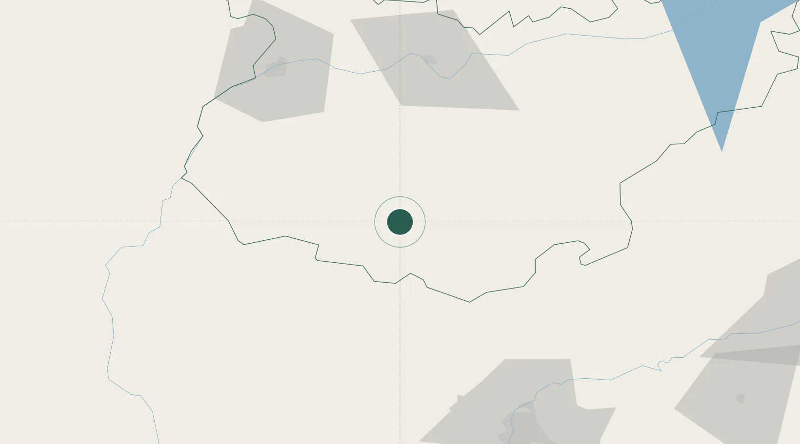
Valencia del Ventoso
38.2667°, -6.4667°
2,235
Population
1
Transport functions
Transport Functions
Multimodal
Hub Profile
Place type
District seat
Region
Extremadura
Population
2,235
Time zone
Europe/Madrid
Elevation
522 m
Location
Nearby Logistics Neighbours
Cities
- 1Medina De Las Torres9 km
- 2Fuente de Cantos15 km
- 3Puebla de Sancho Pérez16 km
- 4Valuengo21 km
- 5Los Santos de Maimona22 km
Ports
- 1Sevilla108 km
- 2Huelva121 km
- 3Vila Real De S Antonio146 km
- 4Rota184 km
- 5Faro188 km
Airports
- 1Badajoz Airport76 km
- 2Madroñalejos Forest Fire fighting Heliport83 km
- 3Seville Airport107 km
- 4Estremoz Municipal Heliport117 km
- 5Évora Airfield128 km
Trade Zones
- 1Zona Franca de Sevilla111 km
- 2Puerto de Huelva120 km
- 3Zona Franca de Cádiz197 km
- 4Depósito Franco de Málaga219 km
- 5Depósito Franco de Algeciras255 km
DatabookThe Record of Consolidated Knowledge
Spain beyond logistics?