Transport Functions
Port
Hub Profile
Place type
District seat
Region
Extremadura
Population
2,496
Time zone
Europe/Madrid
Elevation
623 m
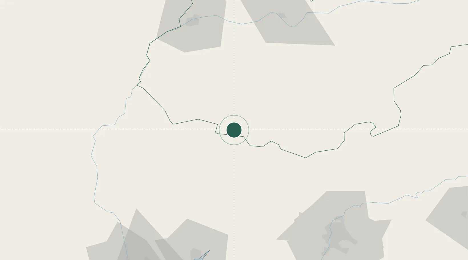
Location
Nearby Logistics Neighbours
Cities
- 1Cumbres Mayores9 km
- 2Valuengo19 km
- 3Valencia del Ventoso24 km
- 4Galaroza24 km
- 5Jabugo25 km
Ports
- 1Huelva101 km
- 2Sevilla104 km
- 3Vila Real De S Antonio123 km
- 4Faro165 km
- 5Rota172 km
Airports
- 1Madroñalejos Forest Fire fighting Heliport75 km
- 2Badajoz Airport85 km
- 3Seville Airport106 km
- 4Beja Airport / Airbase110 km
- 5Estremoz Municipal Heliport111 km
Trade Zones
- 1Puerto de Huelva100 km
- 2Zona Franca de Sevilla107 km
- 3Zona Franca de Cádiz185 km
- 4Depósito Franco de Málaga226 km
- 5Depósito Franco de Algeciras249 km
DatabookThe Record of Consolidated Knowledge
Spain beyond logistics?