UN/LOCODE hub · Spain
ESZBI

Alcampell

42.0000°, 2.0167°
1
Transport functions

Transport Functions

Multimodal
UN/LOCODE

Hub Profile

Region
13
GeoNames

Location

Location of ESZBI
Natural Earth 10m (public domain) · 13 · ESZBI · 42.00, 2.02GoogleOSMYandex

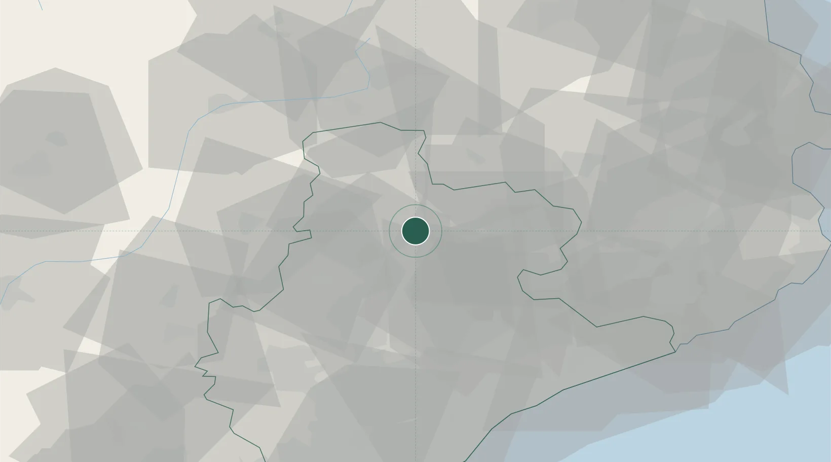
Nearby Logistics Neighbours

Cities
  1. 1Prats de Llucanes0 km
  2. 2Gironella12 km
  3. 3Sant Bartomeu del Grau12 km
  4. 4Puig-reig13 km
  5. 5Avinyó15 km
Nearest neighbours — logibook spatial index (haversine) over the source coordinates
Ports
  1. 1Barcelona73 km
  2. 2San Feliu De Guixols88 km
  3. 3Villanueva Y Geltru88 km
  4. 4Palamos93 km
  5. 5Rosas101 km
Nearest neighbours — logibook spatial index (haversine) over the source coordinates
Airports
  1. 1Folgueroles Airfield25 km
  2. 2Girona-Costa Brava Airport63 km
  3. 3Pirineus - la Seu d'Urgel Airport63 km
  4. 4Josep Tarradellas Barcelona-El Prat Airport78 km
  5. 5Perpignan-Rivesaltes (Llabanère) Airport108 km
Nearest neighbours — logibook spatial index (haversine) over the source coordinates
Trade Zones
  1. 1Zona Franca de Barcelona74 km
  2. 2ZFU Perpignan106 km
  3. 3Depósito Franco de Tarragona117 km
  4. 4ZFU Béziers178 km
  5. 5ZFU Toulouse185 km
Nearest neighbours — logibook spatial index (haversine) over the source coordinates
DatabookThe Record of Consolidated Knowledge
Spain beyond logistics?
Browse databook

All Sources

LocationsUN/LOCODE
UN/LOCODE — free
Portsthe NGA World Port Index
Public domain (US gov)
AirportsOurAirports
Public domain
Trade Zonesthe World Bank SEZ database
CC BY 4.0
Trade ZonesOpen Zone Map
CC BY
← Spain locations