Transport Functions
Rail
Road
Airport
Hub Profile
Region
GI
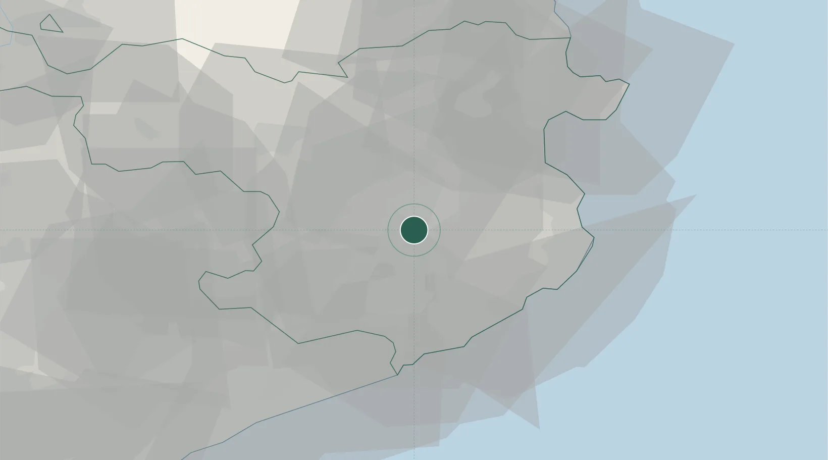
Location
Nearby Logistics Neighbours
Cities
- 1Fontcoberta0 km
- 2Vilablareix3 km
- 3El Perelló4 km
- 4San Julián de Ramis5 km
- 5Sant Julia de Ramis5 km
Ports
- 1San Feliu De Guixols29 km
- 2Palamos30 km
- 3Rosas44 km
- 4Port-Vendres64 km
- 5Barcelona89 km
Airports
Trade Zones
- 1ZFU Perpignan80 km
- 2Zona Franca de Barcelona92 km
- 3ZFU Béziers154 km
- 4Depósito Franco de Tarragona162 km
- 5ZFU Montpellier199 km
DatabookThe Record of Consolidated Knowledge
Spain beyond logistics?