Transport Functions
Port
Rail
Road
Hub Profile
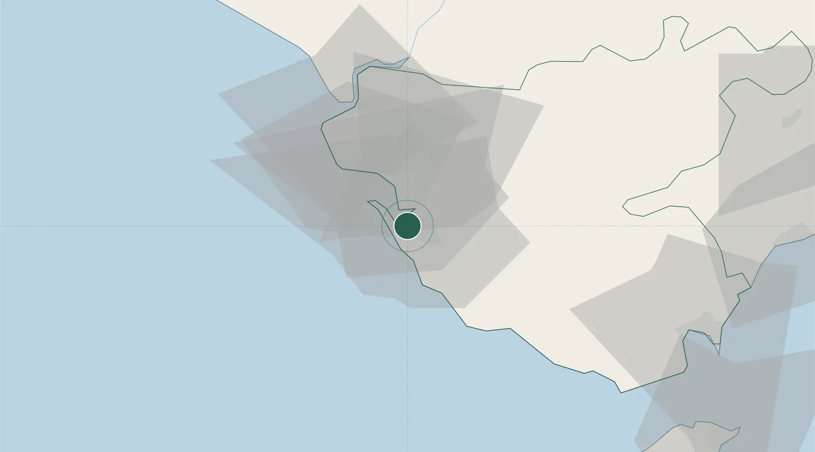
Place type
District seat
Region
Andalusia
Population
95,174
Time zone
Europe/Madrid
Elevation
15 m
Location
Nearby Logistics Neighbours
Cities
- 1Cadiz10 km
- 2Conil de la Frontera25 km
- 3Guadalcacin28 km
- 4Alcantara30 km
- 5Benalup39 km
Ports
- 1Cadiz12 km
- 2Rota21 km
- 3Algeciras78 km
- 4Tanger83 km
- 5Tangier-Mediterranean88 km
Airports
- 1Rota Naval Station Airport24 km
- 2Jerez Airport33 km
- 3Tomás Fernández Espada Airfield67 km
- 4Algeciras Heliport78 km
- 5Gibraltar Airport84 km
Trade Zones
DatabookThe Record of Consolidated Knowledge
Spain beyond logistics?