Transport Functions
Multimodal
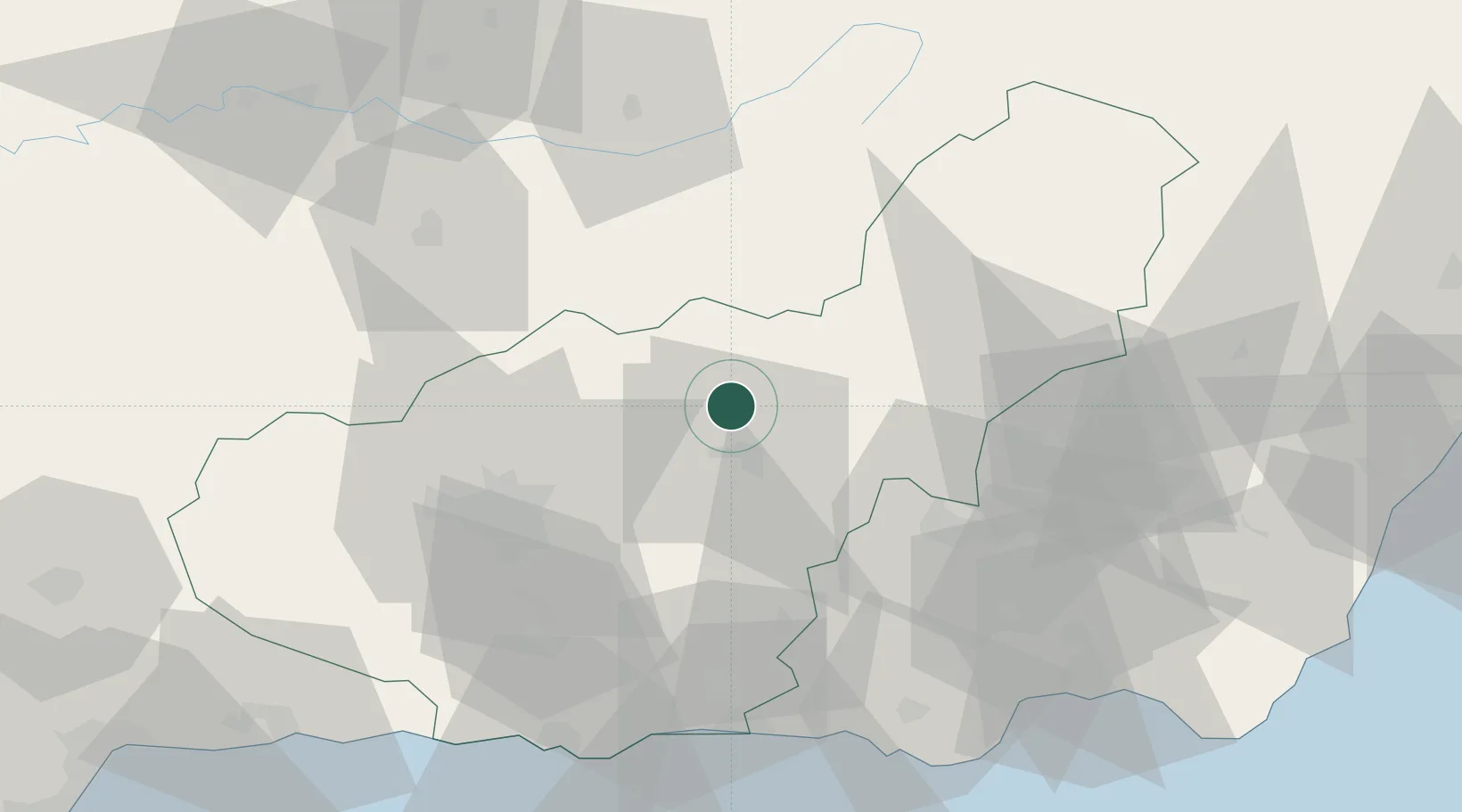
Hub Profile
Place type
District seat
Region
Andalusia
Population
1,158
Time zone
Europe/Madrid
Elevation
773 m
Location
Nearby Logistics Neighbours
Cities
- 1Guadix13 km
- 2Valle del Zalabi16 km
- 3Aldeire31 km
- 4Campotejar40 km
- 5Monachil45 km
Ports
- 1Adra77 km
- 2Motril80 km
- 3Almeria90 km
- 4Puerto De Garrucha122 km
- 5Puerto De Carboneras123 km
Airports
- 1Armilla Air Base52 km
- 2F.G.L. Airport Granada-Jaén Airport60 km
- 3Almería Airport95 km
- 4Málaga-Costa del Sol Airport144 km
- 5Córdoba Airport156 km
Trade Zones
- 1Depósito Franco de Málaga127 km
- 2Melilla Autonomous Community237 km
- 3Nador WestMed Free Zone242 km
- 4Depósito Franco de Algeciras248 km
- 5Zona Franca de Sevilla251 km
DatabookThe Record of Consolidated Knowledge
Spain beyond logistics?