Transport Functions
Multimodal
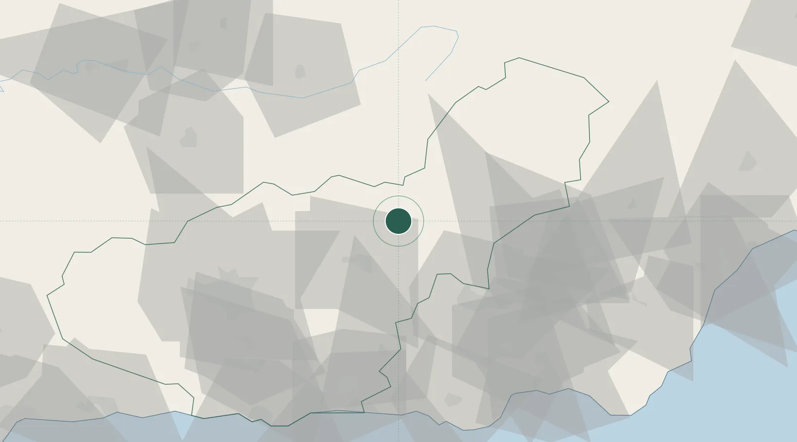
Hub Profile
Region
GR
Location
Nearby Logistics Neighbours
Cities
- 1Fonelas16 km
- 2Guadix22 km
- 3Aldeire36 km
- 4La Mojonera53 km
- 5Campotejar55 km
Ports
- 1Adra82 km
- 2Almeria85 km
- 3Motril92 km
- 4Puerto De Garrucha109 km
- 5Puerto De Carboneras112 km
Airports
- 1Armilla Air Base67 km
- 2F.G.L. Airport Granada-Jaén Airport75 km
- 3Almería Airport89 km
- 4Málaga-Costa del Sol Airport160 km
- 5Alcantarilla Air Base165 km
Trade Zones
- 1Depósito Franco de Málaga143 km
- 2Depósito Franco de Alicante241 km
- 3Melilla Autonomous Community242 km
- 4Nador WestMed Free Zone248 km
- 5Depósito Franco de Algeciras263 km
DatabookThe Record of Consolidated Knowledge
Spain beyond logistics?