Transport Functions
Multimodal
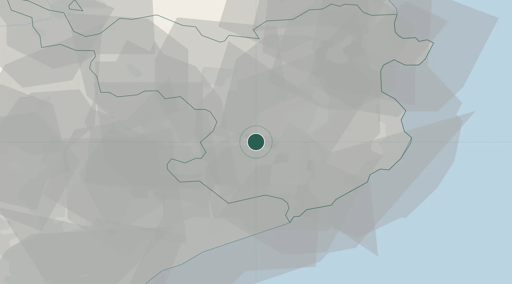
Hub Profile
Place type
Populated place
Region
Catalonia
Population
5,519
Time zone
Europe/Madrid
Elevation
183 m
Location
Nearby Logistics Neighbours
Cities
- 1Amer9 km
- 2Vilablareix11 km
- 3Sant Esteve de Llemena12 km
- 4El Perelló12 km
- 5Sant Aniol de Finestres14 km
Ports
- 1San Feliu De Guixols37 km
- 2Palamos41 km
- 3Rosas56 km
- 4Port-Vendres74 km
- 5Barcelona78 km
Airports
Trade Zones
- 1Zona Franca de Barcelona81 km
- 2ZFU Perpignan86 km
- 3Depósito Franco de Tarragona149 km
- 4ZFU Béziers161 km
- 5ZFU Montpellier208 km
DatabookThe Record of Consolidated Knowledge
Spain beyond logistics?