Transport Functions
Rail
Road
Hub Profile
Place type
Populated place
Region
Catalonia
Time zone
Europe/Madrid
Elevation
189 m
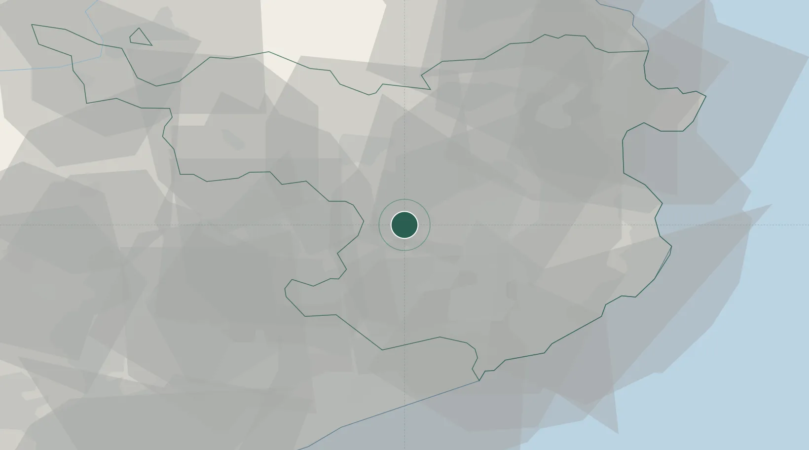
Location
Nearby Logistics Neighbours
Cities
- 1Sant Esteve de Llemena4 km
- 2Sant Aniol de Finestres6 km
- 3Angles9 km
- 4Vilablareix16 km
- 5Banyoles18 km
Ports
- 1San Feliu De Guixols44 km
- 2Palamos47 km
- 3Rosas56 km
- 4Port-Vendres70 km
- 5Barcelona82 km
Airports
Trade Zones
- 1ZFU Perpignan80 km
- 2Zona Franca de Barcelona86 km
- 3Depósito Franco de Tarragona151 km
- 4ZFU Béziers155 km
- 5ZFU Toulouse200 km
DatabookThe Record of Consolidated Knowledge
Spain beyond logistics?