Transport Functions
Multimodal
Hub Profile
Place type
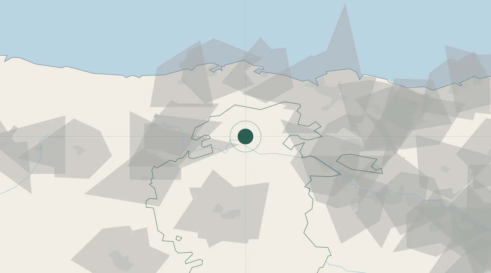
Populated place
Region
Castille and León
Time zone
Europe/Madrid
Elevation
599 m
Location
Nearby Logistics Neighbours
Cities
- 1Medina del Pomar7 km
- 2Valle de Oca24 km
- 3Villasana De Mena30 km
- 4Arciniega42 km
- 5Quintanilla Sobresierra42 km
Ports
- 1Santander62 km
- 2Puerto De Bilbao63 km
- 3Bermeo87 km
- 4Puerto De Pasajes140 km
- 5Bayonne182 km
Airports
- 1Seve Ballesteros-Santander Airport59 km
- 2Burgos Airport64 km
- 3Bilbao Airport67 km
- 4Vitoria Airport69 km
- 5Logroño-Agoncillo Airport115 km
Trade Zones
DatabookThe Record of Consolidated Knowledge
Spain beyond logistics?