UN/LOCODE hub · Spain
ESV8M
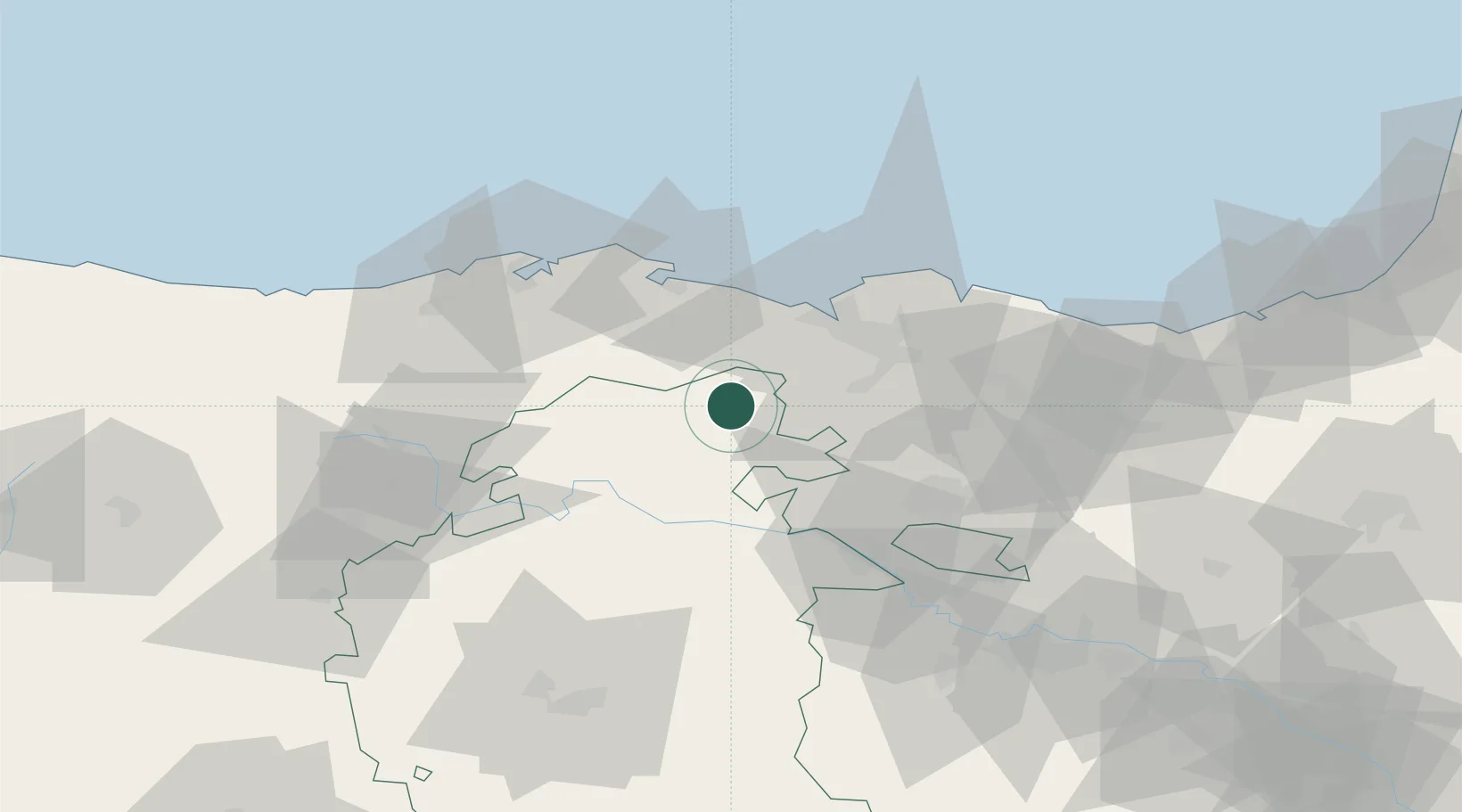
Villasana De Mena
43.1000°, -3.2833°
3,427
Population
2
Transport functions
Transport Functions
Port
Multimodal
Hub Profile
Place type
Populated place
Region
Castille and León
Population
3,427
Time zone
Europe/Madrid
Elevation
318 m
Location
Nearby Logistics Neighbours
Cities
- 1Arciniega14 km
- 2Zalla17 km
- 3Aranguren18 km
- 4El Corrillo (Zalla)18 km
- 5Gordexola19 km
Ports
- 1Puerto De Bilbao34 km
- 2Santander57 km
- 3Bermeo58 km
- 4Puerto De Pasajes112 km
- 5Bayonne154 km
Airports
- 1Bilbao Airport38 km
- 2Vitoria Airport52 km
- 3Seve Ballesteros-Santander Airport57 km
- 4Burgos Airport87 km
- 5Logroño-Agoncillo Airport106 km
Trade Zones
DatabookThe Record of Consolidated Knowledge
Spain beyond logistics?