UN/LOCODE hub · Spain
ESVOB

Valle de Oca

42.7167°, -3.5167°
1
Transport functions

Transport Functions

Multimodal
UN/LOCODE

Hub Profile

Region
BU
GeoNames

Location

Location of ESVOB
Natural Earth 10m (public domain) · BU · ESVOB · 42.72, -3.52GoogleOSMYandex

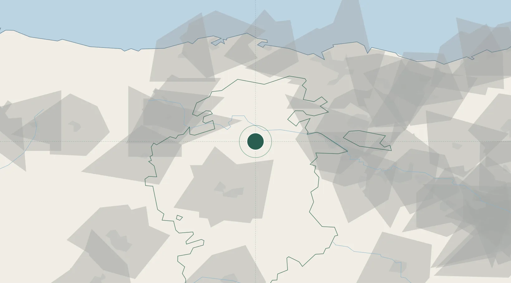
Nearby Logistics Neighbours

Cities
  1. 1Quintanilla Sobresierra22 km
  2. 2Medina del Pomar24 km
  3. 3Villarcayo24 km
  4. 4Pancorbo35 km
  5. 5Berguenda39 km
Nearest neighbours — logibook spatial index (haversine) over the source coordinates
Ports
  1. 1Puerto De Bilbao80 km
  2. 2Santander86 km
  3. 3Bermeo101 km
  4. 4Puerto De Pasajes146 km
  5. 5Bayonne188 km
Nearest neighbours — logibook spatial index (haversine) over the source coordinates
Airports
  1. 1Burgos Airport41 km
  2. 2Vitoria Airport67 km
  3. 3Bilbao Airport82 km
  4. 4Seve Ballesteros-Santander Airport83 km
  5. 5Logroño-Agoncillo Airport102 km
Nearest neighbours — logibook spatial index (haversine) over the source coordinates
Trade Zones
  1. 1Depósito Franco de Villafría (Burgos)42 km
  2. 2Depósito Franco de Bilbao79 km
  3. 3Zona Franca de Santander85 km
  4. 4Depósito Franco de Pasajes (Guipúzcoa)146 km
  5. 5Depósito Franco de Gijón200 km
Nearest neighbours — logibook spatial index (haversine) over the source coordinates
DatabookThe Record of Consolidated Knowledge
Spain beyond logistics?
Browse databook

All Sources

LocationsUN/LOCODE
UN/LOCODE — free
Portsthe NGA World Port Index
Public domain (US gov)
AirportsOurAirports
Public domain
Trade Zonesthe World Bank SEZ database
CC BY 4.0
Trade ZonesOpen Zone Map
CC BY
← Spain locations