Transport Functions
Multimodal
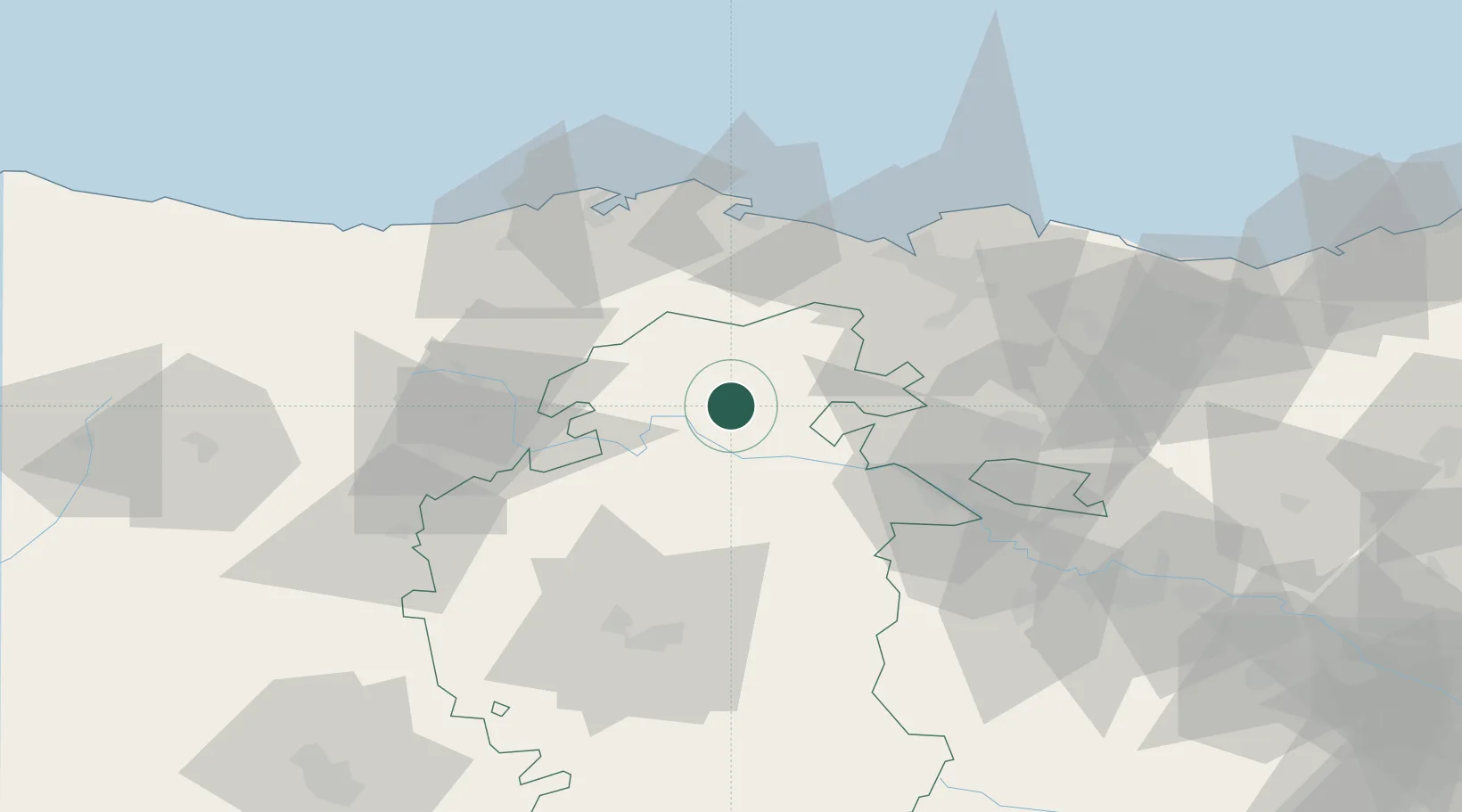
Location
Nearby Logistics Neighbours
Cities
- 1Villarcayo7 km
- 2Valle de Oca24 km
- 3Villasana De Mena25 km
- 4Arciniega36 km
- 5Berguenda39 km
Ports
- 1Puerto De Bilbao58 km
- 2Santander64 km
- 3Bermeo82 km
- 4Puerto De Pasajes133 km
- 5Bayonne175 km
Airports
- 1Seve Ballesteros-Santander Airport61 km
- 2Bilbao Airport62 km
- 3Vitoria Airport62 km
- 4Burgos Airport65 km
- 5Logroño-Agoncillo Airport109 km
Trade Zones
DatabookThe Record of Consolidated Knowledge
Spain beyond logistics?