Transport Functions
Multimodal
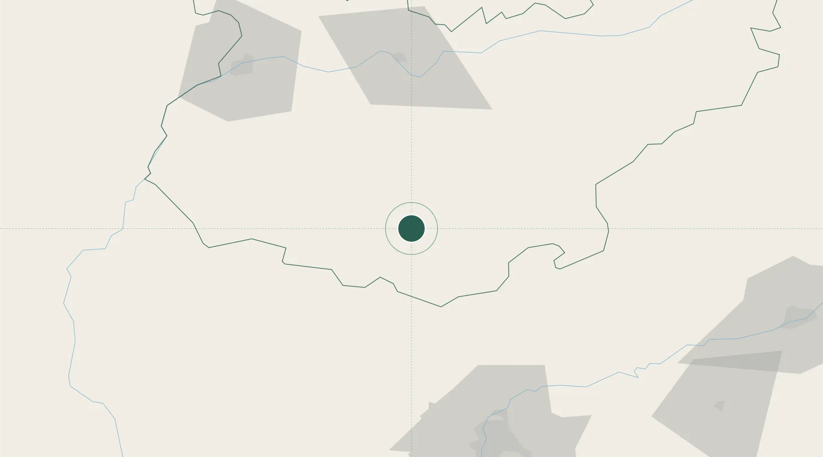
Hub Profile
Place type
District seat
Region
Extremadura
Population
4,952
Time zone
Europe/Madrid
Elevation
607 m
Location
Nearby Logistics Neighbours
Cities
- 1Medina De Las Torres13 km
- 2Valencia del Ventoso15 km
- 3Puebla de Sancho Pérez19 km
- 4Los Santos de Maimona23 km
- 5Llerena25 km
Ports
- 1Sevilla102 km
- 2Huelva125 km
- 3Vila Real De S Antonio153 km
- 4Rota182 km
- 5Cadiz191 km
Airports
- 1Madroñalejos Forest Fire fighting Heliport79 km
- 2Badajoz Airport85 km
- 3Seville Airport99 km
- 4Estremoz Municipal Heliport131 km
- 5Moron Air Base134 km
Trade Zones
- 1Zona Franca de Sevilla105 km
- 2Puerto de Huelva125 km
- 3Zona Franca de Cádiz195 km
- 4Depósito Franco de Málaga206 km
- 5Depósito Franco de Algeciras248 km
DatabookThe Record of Consolidated Knowledge
Spain beyond logistics?