Transport Functions
Road
Multimodal
Hub Profile
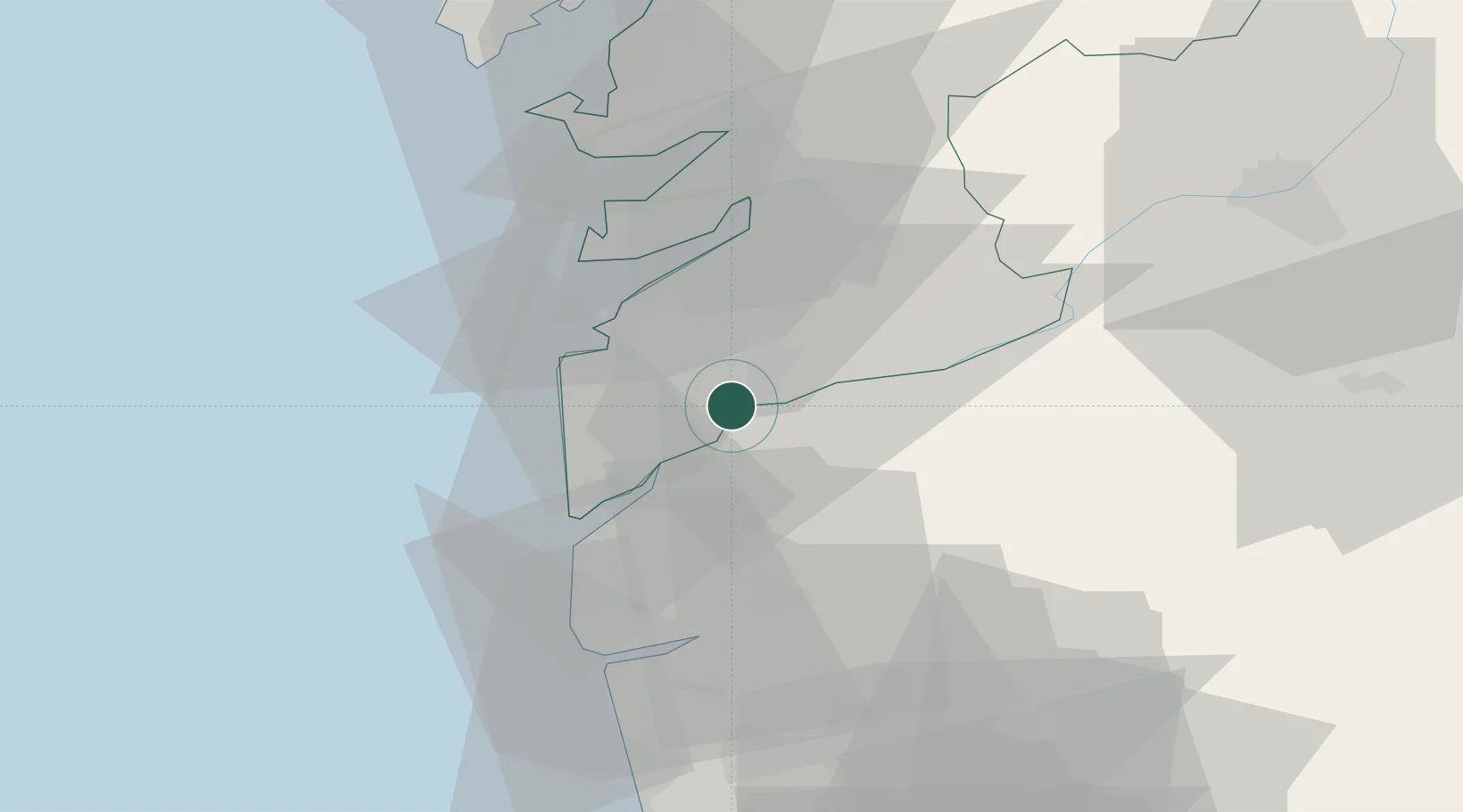
Place type
District seat
Region
Galicia
Population
17,262
Time zone
Europe/Madrid
Elevation
50 m
Location
Nearby Logistics Neighbours
Ports
- 1Vigo21 km
- 2Marin39 km
- 3Viana Do Castelo42 km
- 4Villagarcia De Arosa62 km
- 5Porto De Leixoes97 km
Airports
Trade Zones
DatabookThe Record of Consolidated Knowledge
Spain beyond logistics?