Transport Functions
Rail
Road
Hub Profile
Place type
Provincial seat
Region
Viana do Castelo
Time zone
Europe/Lisbon
Elevation
56 m
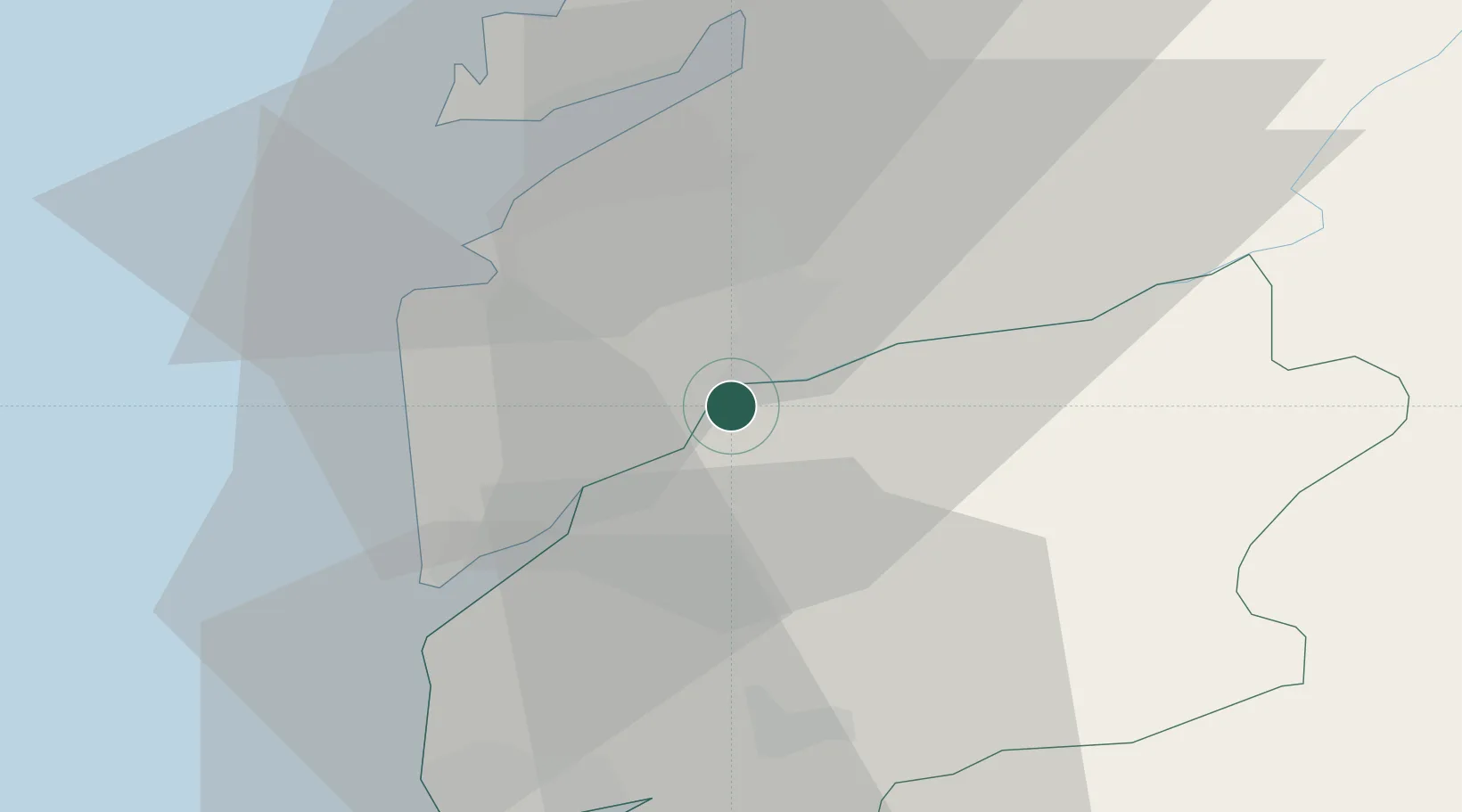
Location
Nearby Logistics Neighbours
Ports
- 1Vigo23 km
- 2Viana Do Castelo41 km
- 3Marin41 km
- 4Villagarcia De Arosa64 km
- 5Porto De Leixoes95 km
Airports
Trade Zones
DatabookThe Record of Consolidated Knowledge
Portugal beyond logistics?