Transport Functions
Rail
Road
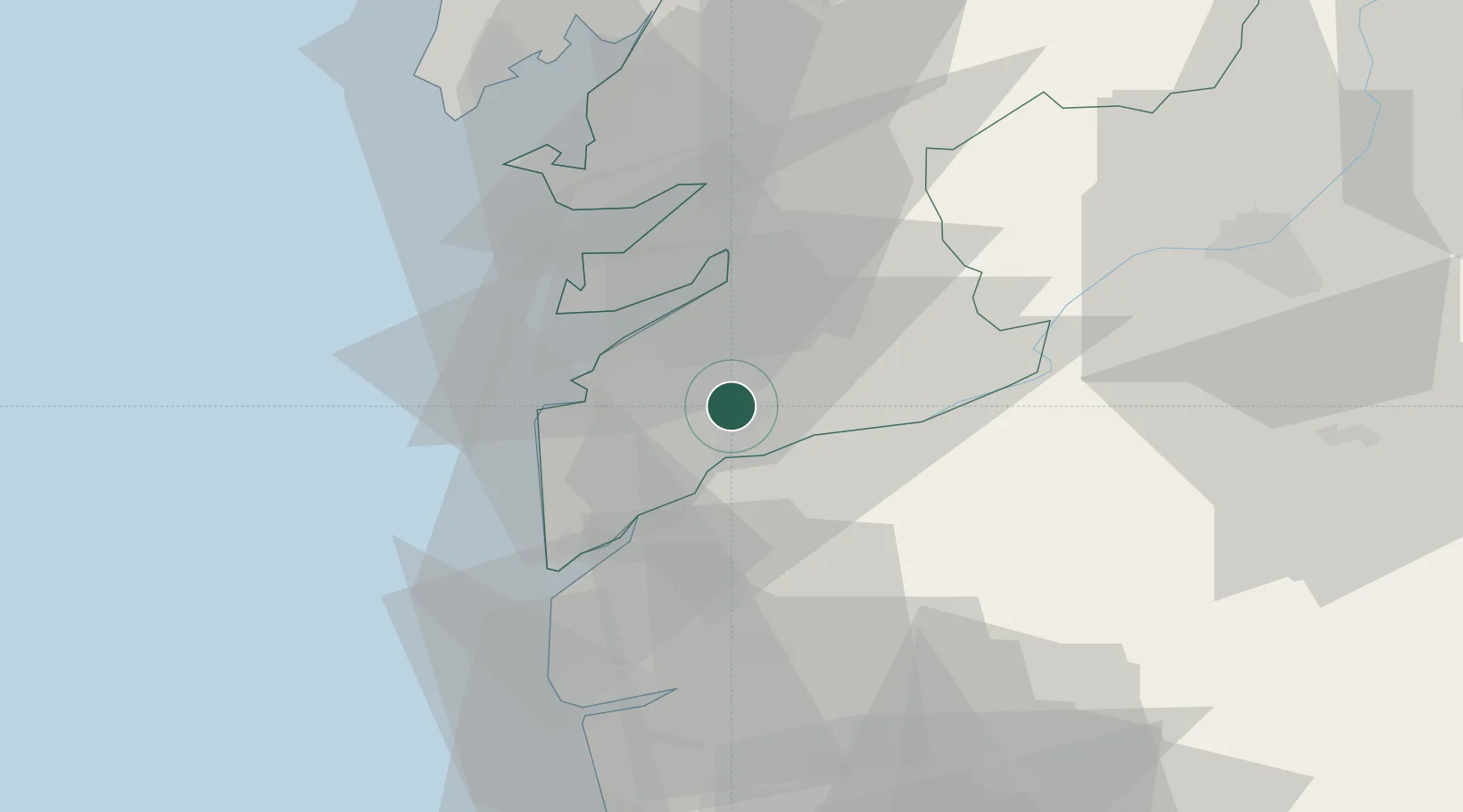
Hub Profile
Place type
Populated place
Region
Galicia
Population
17,475
Time zone
Europe/Madrid
Elevation
39 m
Logistics facilities
1
Location
Nearby Logistics Neighbours
Cities
- 1Guillarey6 km
- 2Sanguineda7 km
- 3Túy8 km
- 4Puxeiros9 km
- 5Tui9 km
Ports
- 1Vigo15 km
- 2Marin31 km
- 3Viana Do Castelo50 km
- 4Villagarcia De Arosa54 km
- 5Porto De Leixoes105 km
Airports
Trade Zones
- 1Zona Franca de Vigo16 km
- 2Zona Livre Tecnológica Masotinhos106 km
- 3VGP Park Santa Maria da Feira133 km
- 4Depósito Franco de La Coruña138 km
- 5Depósito Franco de Gijón287 km
DatabookThe Record of Consolidated Knowledge
Spain beyond logistics?