Seaport · Spain
MarinESMPG
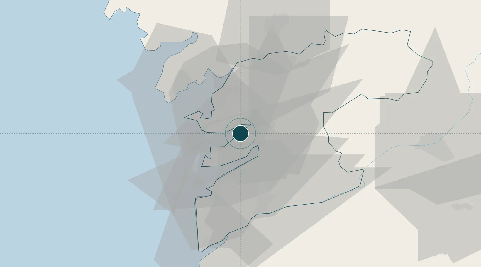
42.4000°, -8.7000°
23.2 m
Channel depth
1
Container terminals
10.5
Port liner connectivity
Channel & Berth Profile
Pilotage, Tugs & Services
Pilotage compulsoryYES
Pilotage availableYES
Pilotage advisableYES
Tug assistanceYES
Shore powerYES
Potable waterYES
MedicalYES
Garbage disposalYES
Facilities & Capabilities
Container—
Ro-Ro—
Liquid bulk—
Dry bulk—
Oil terminal—
Break bulk—
Dry dockNO
RepairsNO
BunkeringYES
Rail linkYES
Dangerous cargo—
ISPS security—
Harbour Specifications
Harbour size
Small
Harbour type
Coastal (Breakwater)
Shelter
Good
Water body
North Atlantic Ocean
Tidal range
4 m
Pilotage
Yes
Liner Connectivity
10.5
PLSCI
Port Liner Shipping Connectivity Index for Marin, as published by UNCTAD for the latest available quarter. Higher values indicate stronger scheduled liner-shipping integration.
Shown relative to the highest per-port PLSCI in the dataset (1,657.9).
Location
Container Terminals · 1
MARIN PORT TERMINAL
MPT PEREZ TORRES MARITIMA S.L.
Nearby Logistics Neighbours
Ports
- 1Vigo19 km
- 2Villagarcia De Arosa23 km
- 3Viana Do Castelo79 km
- 4La Coruna110 km
- 5Ferrol126 km
Airports
- 1Vigo Airport20 km
- 2Santiago-Rosalía de Castro Airport60 km
- 3Braga Municipal Aerodrome93 km
- 4A Coruña Airport104 km
- 5Vilar de Luz Airfield126 km
Trade Zones
- 1Zona Franca de Vigo20 km
- 2Depósito Franco de La Coruña109 km
- 3Zona Livre Tecnológica Masotinhos136 km
- 4VGP Park Santa Maria da Feira164 km
- 5Depósito Franco de Gijón277 km
DatabookThe Record of Consolidated Knowledge
Spain beyond logistics?