Transport Functions
Multimodal
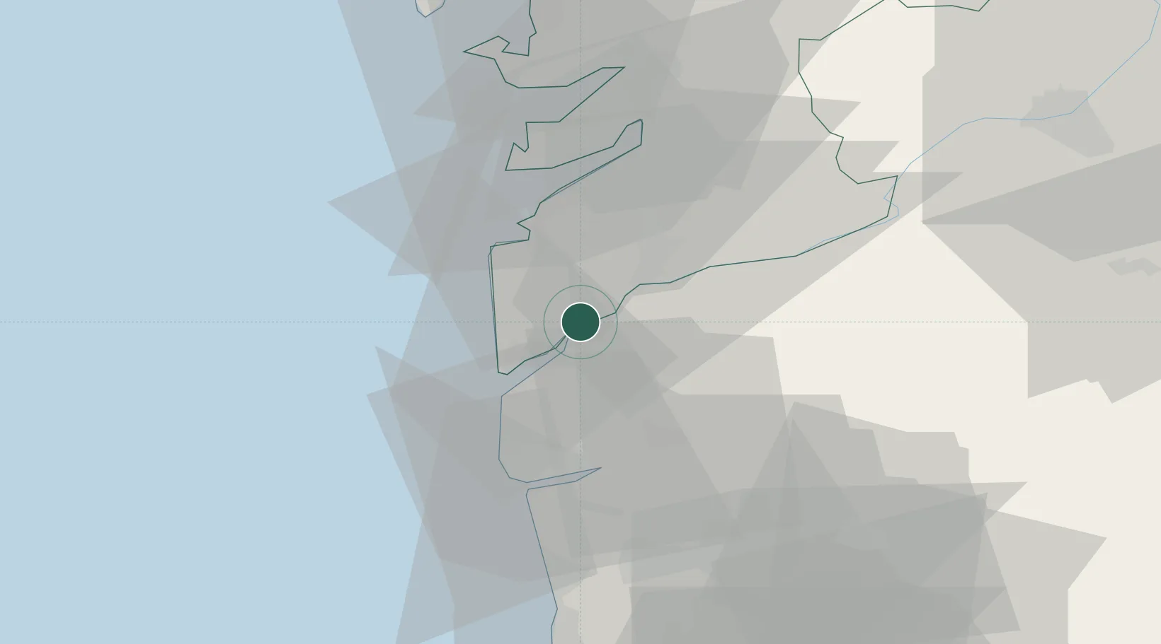
Hub Profile
Place type
District seat
Region
Galicia
Population
13,315
Time zone
Europe/Madrid
Elevation
17 m
Location
Nearby Logistics Neighbours
Cities
- 1Vila Nova da Cerveira6 km
- 2Valença10 km
- 3Tui10 km
- 4Túy11 km
- 5Rosal11 km
Ports
- 1Vigo28 km
- 2Viana Do Castelo33 km
- 3Marin46 km
- 4Villagarcia De Arosa69 km
- 5Porto De Leixoes89 km
Airports
- 1Vigo Airport29 km
- 2Braga Municipal Aerodrome50 km
- 3Vilar de Luz Airfield81 km
- 4Francisco de Sá Carneiro Airport82 km
- 5Santiago-Rosalía de Castro Airport105 km
Trade Zones
DatabookThe Record of Consolidated Knowledge
Spain beyond logistics?