Seaport · Spain

Villagarcia De ArosaESVIL
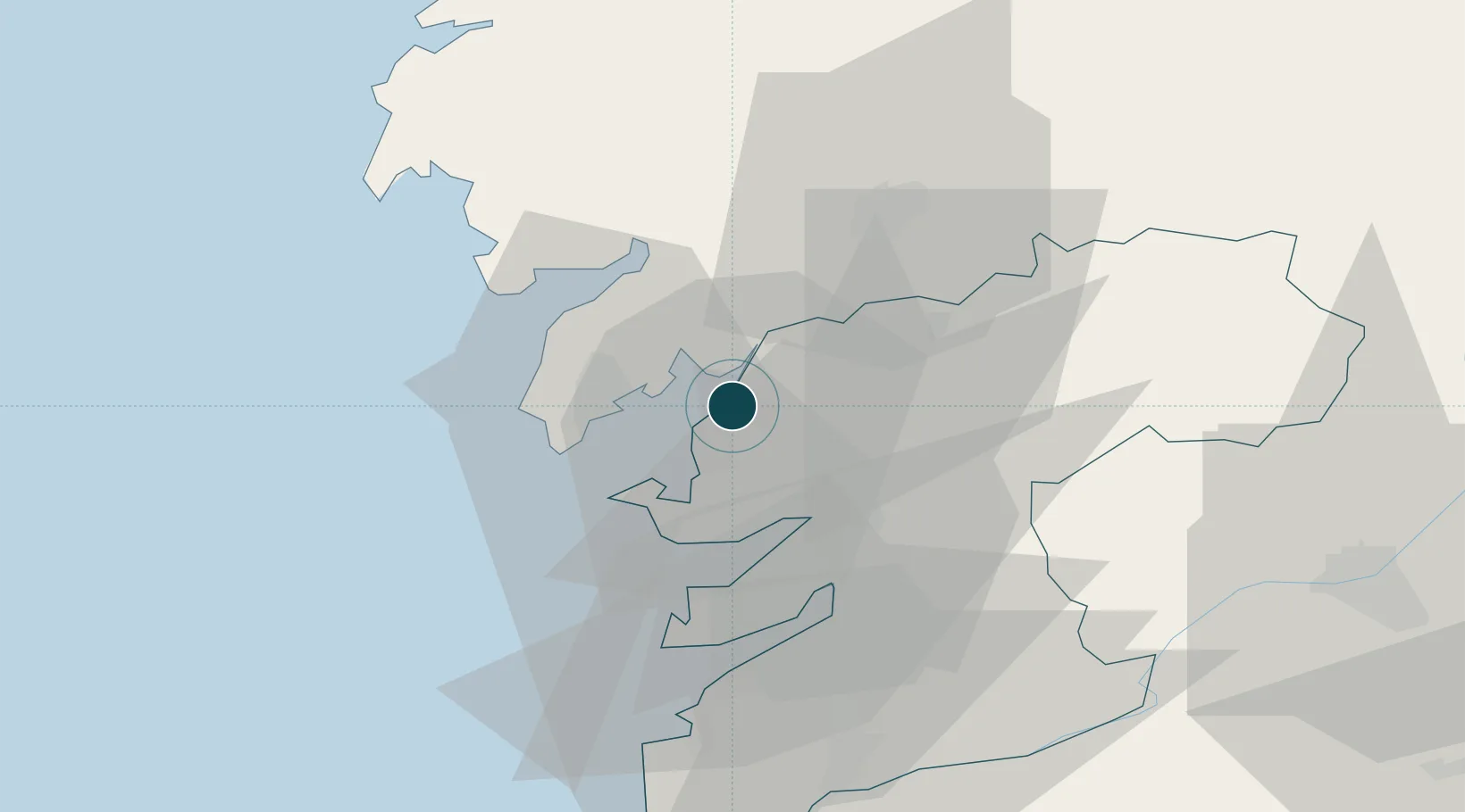
42.6000°, -8.7667°
20.1 m
Channel depth
1
Container terminals
23.3
Port liner connectivity
Villagarcia De Arosa is also a UN/LOCODE logistics hub →

Channel & Berth Profile

SEA LEVEL (CD)CHANNEL BEDAnchorage · 4.9 mCargo pier · 11.0 mChannel · 20.1 m
NGA World Port Index

Pilotage, Tugs & Services

Pilotage compulsoryYES
Pilotage availableYES
Pilotage advisableYES
Tug assistanceYES
Potable waterYES
Diesel bunkersYES
MedicalYES
NGA World Port Index

Facilities & Capabilities

Container
Ro-Ro
Liquid bulk
Dry bulk
Oil terminal
Break bulk
Dry dock
RepairsNO
BunkeringYES
Rail linkYES
Dangerous cargo
ISPS security
NGA World Port Index

Harbour Specifications

Harbour size
Very Small
NGA World Port Index
Harbour type
Coastal (Natural)
NGA World Port Index
Shelter
Excellent
NGA World Port Index
Water body
North Atlantic Ocean
NGA World Port Index
Tidal range
4 m
NGA World Port Index
Pilotage
Yes
NGA World Port Index

Liner Connectivity

23.3
PLSCI

Port Liner Shipping Connectivity Index for Villagarcia De Arosa, as published by UNCTAD for the latest available quarter. Higher values indicate stronger scheduled liner-shipping integration.

Shown relative to the highest per-port PLSCI in the dataset (1,657.9).

UNCTAD · Port Liner Shipping Connectivity Index

Location

Location of ESVIL
Natural Earth 10m (public domain) · Pontevedra · ESVIL · 42.60, -8.77GoogleOSMYandex

Container Terminals · 1

BOLUDA MARITIME TERMINALS VILAGARCIA
BMT BOLUDA CORPORACION MARITIMA S.A.
SMDG Terminal Code List

Nearby Logistics Neighbours

Ports
  1. 1Marin23 km
  2. 2Vigo41 km
  3. 3La Coruna90 km
  4. 4Viana Do Castelo100 km
  5. 5Ferrol107 km
Nearest neighbours — logibook spatial index (haversine) over the source coordinates
Cities
  1. 1Sobradelo2 km
  2. 2Catoira9 km
  3. 3Ribadumia11 km
  4. 4Meis11 km
  5. 5Boiro12 km
Nearest neighbours — logibook spatial index (haversine) over the source coordinates
Airports
  1. 1Vigo Airport43 km
  2. 2Santiago-Rosalía de Castro Airport44 km
  3. 3A Coruña Airport84 km
  4. 4Braga Municipal Aerodrome116 km
  5. 5Vilar de Luz Airfield149 km
Nearest neighbours — logibook spatial index (haversine) over the source coordinates
Trade Zones
  1. 1Zona Franca de Vigo41 km
  2. 2Depósito Franco de La Coruña90 km
  3. 3Zona Livre Tecnológica Masotinhos159 km
  4. 4VGP Park Santa Maria da Feira186 km
  5. 5Depósito Franco de Gijón272 km
Nearest neighbours — logibook spatial index (haversine) over the source coordinates
DatabookThe Record of Consolidated Knowledge
Spain beyond logistics?
Browse databook

All Sources

Portsthe NGA World Port Index
Public domain (US gov)
Logistics performanceUNCTAD
CC BY 3.0 IGO
Portsthe SMDG Terminal Code List
UN/LOCODE — free, attribution
AirportsOurAirports
Public domain
LocationsUN/LOCODE
UN/LOCODE — free
Trade Zonesthe World Bank SEZ database
CC BY 4.0
Trade ZonesOpen Zone Map
CC BY
← Spain ports