Medium airport · Portugal

Braga Municipal AerodromeLPBR
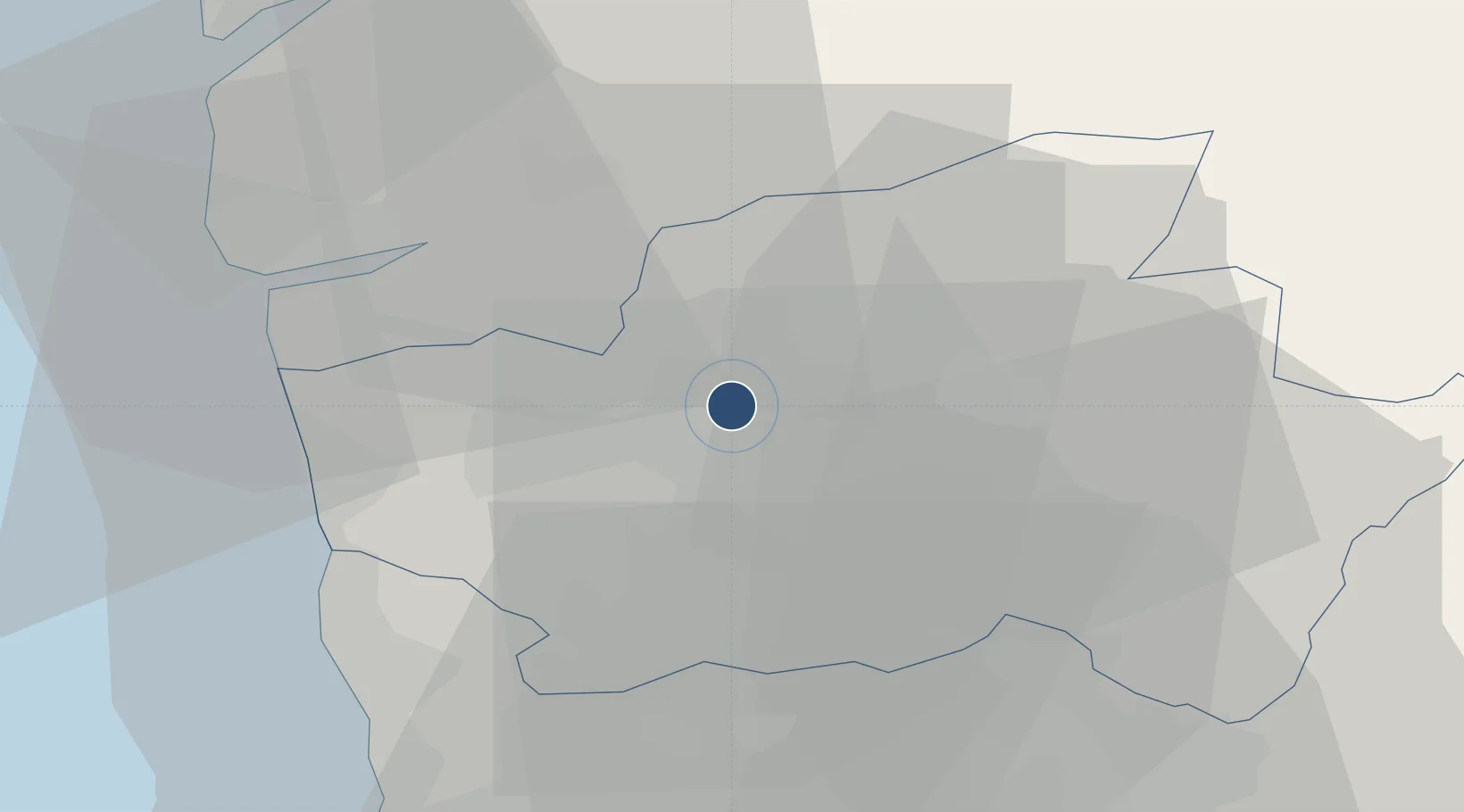
41.5870°, -8.4452°
3,081 ft
Longest runway
1
Runways
247 ft
Elevation

Runway & Layout

Braga Municipal Aerodrome runway & taxiway layout
Runway & taxiway layout — OpenStreetMap (ODbL) / OurAirports

Radio Frequencies

CTAF
122.005 MHz
OurAirports

Runways · 1

RunwayDimensions SurfaceTrue headingLit
07/25 3,081 × 75ft Asphalt 062°
OurAirports

Airport Specifications

ICAO code
LPBR
OurAirports
Airport class
Medium airport
OurAirports
Scheduled service
No
OurAirports
Runway surface
Asphalt
OurAirports
Served city
Braga
OurAirports

Location

Location of LPBR
Natural Earth 10m (public domain) · Braga · LPBR · 41.59, -8.45GoogleOSMYandex

Nearby Logistics Neighbours

Airports
  1. 1Vilar de Luz Airfield35 km
  2. 2Francisco de Sá Carneiro Airport43 km
  3. 3Vila Real Airport70 km
  4. 4Vigo Airport73 km
  5. 5Ovar Air Base77 km
Nearest neighbours — logibook spatial index (haversine) over the source coordinates
Cities
  1. 1Parada de Tibães3 km
  2. 2Lago4 km
  3. 3Águas Santas10 km
  4. 4Adães13 km
  5. 5Barcelos16 km
Nearest neighbours — logibook spatial index (haversine) over the source coordinates
Ports
  1. 1Viana Do Castelo35 km
  2. 2Porto De Leixoes50 km
  3. 3Oporto52 km
  4. 4Vigo75 km
  5. 5Marin93 km
Nearest neighbours — logibook spatial index (haversine) over the source coordinates
Trade Zones
  1. 1Zona Livre Tecnológica Masotinhos50 km
  2. 2VGP Park Santa Maria da Feira74 km
  3. 3Zona Franca de Vigo76 km
  4. 4Depósito Franco de La Coruña197 km
  5. 5Depósito Franco de Gijón315 km
Nearest neighbours — logibook spatial index (haversine) over the source coordinates
DatabookThe Record of Consolidated Knowledge
Portugal beyond logistics?
Browse databook

All Sources

AirportsOurAirports
Public domain
Portsthe NGA World Port Index
Public domain (US gov)
LocationsUN/LOCODE
UN/LOCODE — free
Trade Zonesthe World Bank SEZ database
CC BY 4.0
Trade ZonesOpen Zone Map
CC BY
InfrastructureOpenStreetMap
ODbL 1.0
← Portugal airports