UN/LOCODE hub · Spain
ESSI6

Sant Climens

41.9500°, 1.4167°
1
Transport functions

Transport Functions

Multimodal
UN/LOCODE

Hub Profile

Region
L
GeoNames

Location

Location of ESSI6
Natural Earth 10m (public domain) · L · ESSI6 · 41.95, 1.42GoogleOSMYandex

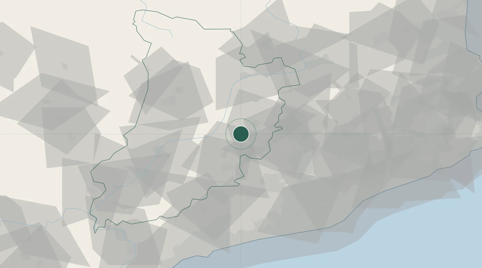
Nearby Logistics Neighbours

Cities
  1. 1Olius14 km
  2. 2Guissona22 km
  3. 3Sant Pere de Sallavinera26 km
  4. 4Suria31 km
  5. 5Sant Guim de Freixenet33 km
Nearest neighbours — logibook spatial index (haversine) over the source coordinates
Ports
  1. 1Villanueva Y Geltru84 km
  2. 2Barcelona91 km
  3. 3Tarragona96 km
  4. 4San Feliu De Guixols135 km
  5. 5Palamos141 km
Nearest neighbours — logibook spatial index (haversine) over the source coordinates
Airports
  1. 1Pirineus - la Seu d'Urgel Airport43 km
  2. 2Folgueroles Airfield74 km
  3. 3Lleida-Alguaire Airport77 km
  4. 4Josep Tarradellas Barcelona-El Prat Airport91 km
  5. 5Reus Airport92 km
Nearest neighbours — logibook spatial index (haversine) over the source coordinates
Trade Zones
  1. 1Zona Franca de Barcelona90 km
  2. 2Depósito Franco de Tarragona94 km
  3. 3ZFU Perpignan147 km
  4. 4ZFU Toulouse184 km
  5. 5Depósito Franco de Zaragoza185 km
Nearest neighbours — logibook spatial index (haversine) over the source coordinates
DatabookThe Record of Consolidated Knowledge
Spain beyond logistics?
Browse databook

All Sources

LocationsUN/LOCODE
UN/LOCODE — free
Portsthe NGA World Port Index
Public domain (US gov)
AirportsOurAirports
Public domain
Trade Zonesthe World Bank SEZ database
CC BY 4.0
Trade ZonesOpen Zone Map
CC BY
← Spain locations