Transport Functions
Road
Multimodal
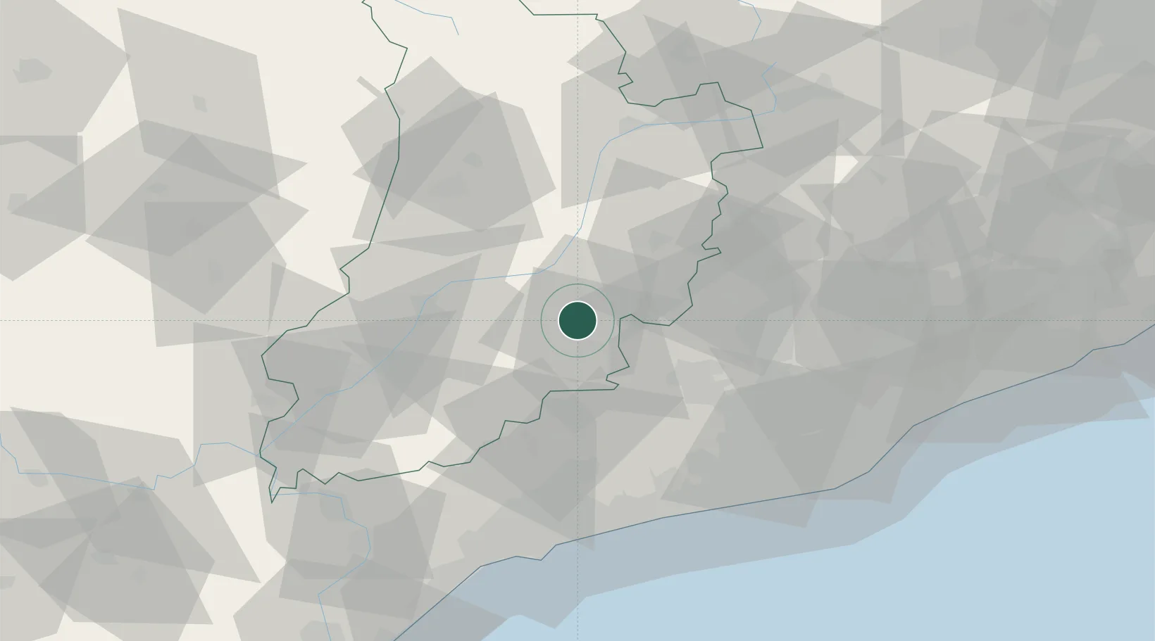
Hub Profile
Place type
Populated place
Region
Catalonia
Population
7,390
Time zone
Europe/Madrid
Elevation
517 m
Location
Nearby Logistics Neighbours
Cities
- 1Granyanella14 km
- 2Sant Guim de Freixenet19 km
- 3Sant Climens22 km
- 4Sant Pere de Sallavinera24 km
- 5Ametlla24 km
Ports
- 1Villanueva Y Geltru72 km
- 2Tarragona76 km
- 3Barcelona88 km
- 4San Feliu De Guixols145 km
- 5Palamos152 km
Airports
Trade Zones
- 1Depósito Franco de Tarragona74 km
- 2Zona Franca de Barcelona86 km
- 3ZFU Perpignan167 km
- 4Depósito Franco de Zaragoza171 km
- 5ZFU Toulouse203 km
DatabookThe Record of Consolidated Knowledge
Spain beyond logistics?