UN/LOCODE hub · Spain
ESZEX

Sant Pere de Sallavinera

41.7500°, 1.5667°
1
Transport functions

Transport Functions

Multimodal
UN/LOCODE

Hub Profile

Region
B
GeoNames

Location

Location of ESZEX
Natural Earth 10m (public domain) · B · ESZEX · 41.75, 1.57GoogleOSMYandex

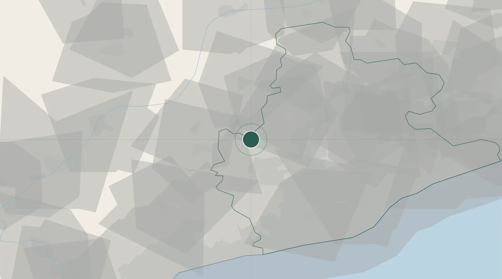
Nearby Logistics Neighbours

Cities
  1. 1Rajadell12 km
  2. 2Sant Guim de Freixenet17 km
  3. 3Suria18 km
  4. 4Santpedor22 km
  5. 5Guissona24 km
Nearest neighbours — logibook spatial index (haversine) over the source coordinates
Ports
  1. 1Villanueva Y Geltru59 km
  2. 2Barcelona67 km
  3. 3Tarragona77 km
  4. 4San Feliu De Guixols122 km
  5. 5Palamos129 km
Nearest neighbours — logibook spatial index (haversine) over the source coordinates
Airports
  1. 1Folgueroles Airfield65 km
  2. 2Josep Tarradellas Barcelona-El Prat Airport66 km
  3. 3Pirineus - la Seu d'Urgel Airport67 km
  4. 4Reus Airport75 km
  5. 5Lleida-Alguaire Airport86 km
Nearest neighbours — logibook spatial index (haversine) over the source coordinates
Trade Zones
  1. 1Zona Franca de Barcelona65 km
  2. 2Depósito Franco de Tarragona75 km
  3. 3ZFU Perpignan152 km
  4. 4Depósito Franco de Zaragoza194 km
  5. 5ZFU Toulouse207 km
Nearest neighbours — logibook spatial index (haversine) over the source coordinates
DatabookThe Record of Consolidated Knowledge
Spain beyond logistics?
Browse databook

All Sources

LocationsUN/LOCODE
UN/LOCODE — free
Portsthe NGA World Port Index
Public domain (US gov)
AirportsOurAirports
Public domain
Trade Zonesthe World Bank SEZ database
CC BY 4.0
Trade ZonesOpen Zone Map
CC BY
← Spain locations