Transport Functions
Rail
Road
Hub Profile
Place type
District seat
Region
Catalonia
Time zone
Europe/Madrid
Elevation
742 m
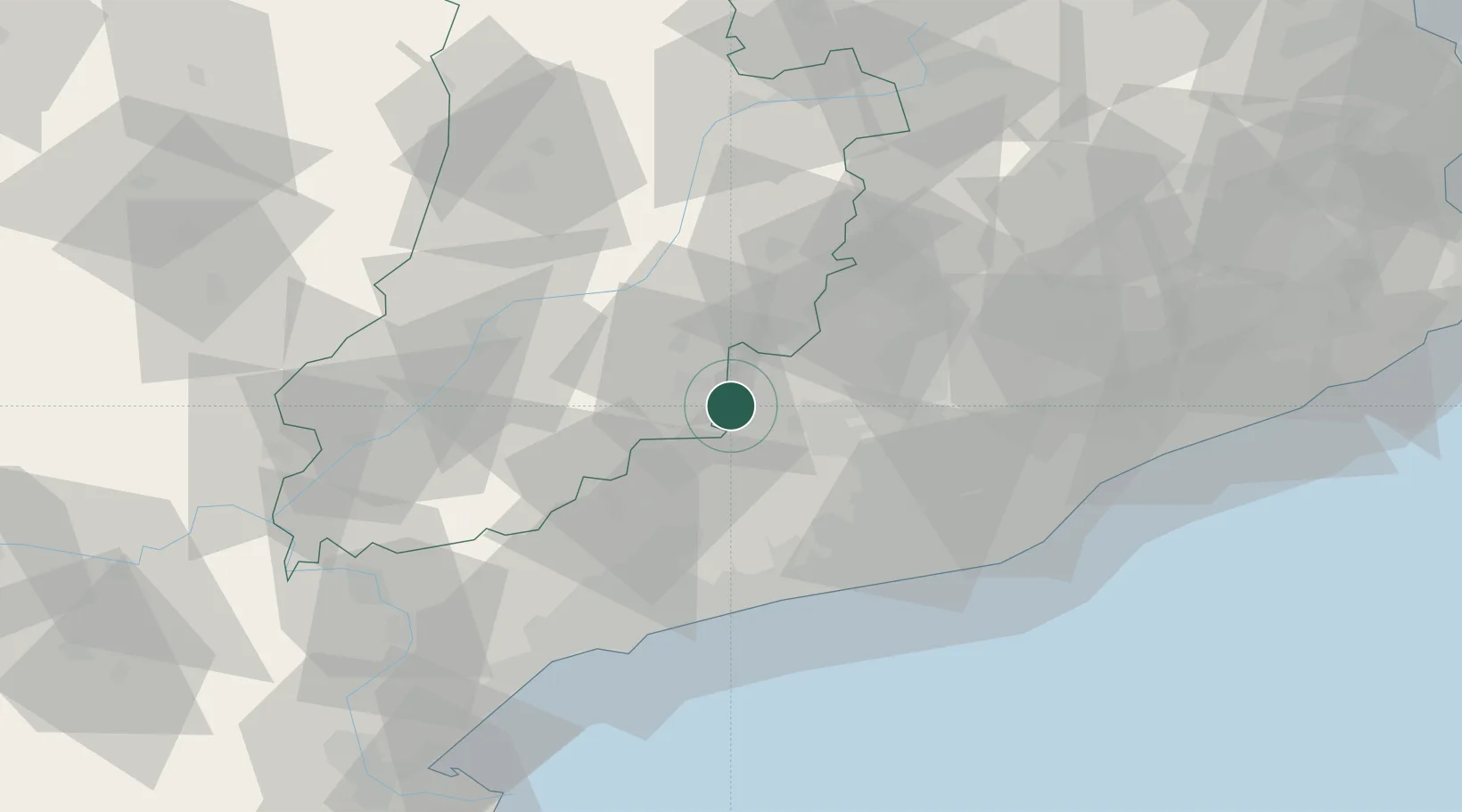
Location
Nearby Logistics Neighbours
Cities
- 1Ametlla17 km
- 2Sant Pere de Sallavinera17 km
- 3Granyanella17 km
- 4Guissona19 km
- 5Vallfogona De Riucorp19 km
Ports
- 1Villanueva Y Geltru53 km
- 2Tarragona63 km
- 3Barcelona71 km
- 4San Feliu De Guixols135 km
- 5Palamos143 km
Airports
Trade Zones
- 1Depósito Franco de Tarragona61 km
- 2Zona Franca de Barcelona68 km
- 3ZFU Perpignan169 km
- 4Depósito Franco de Zaragoza182 km
- 5ZFU Toulouse217 km
DatabookThe Record of Consolidated Knowledge
Spain beyond logistics?