Transport Functions
Multimodal
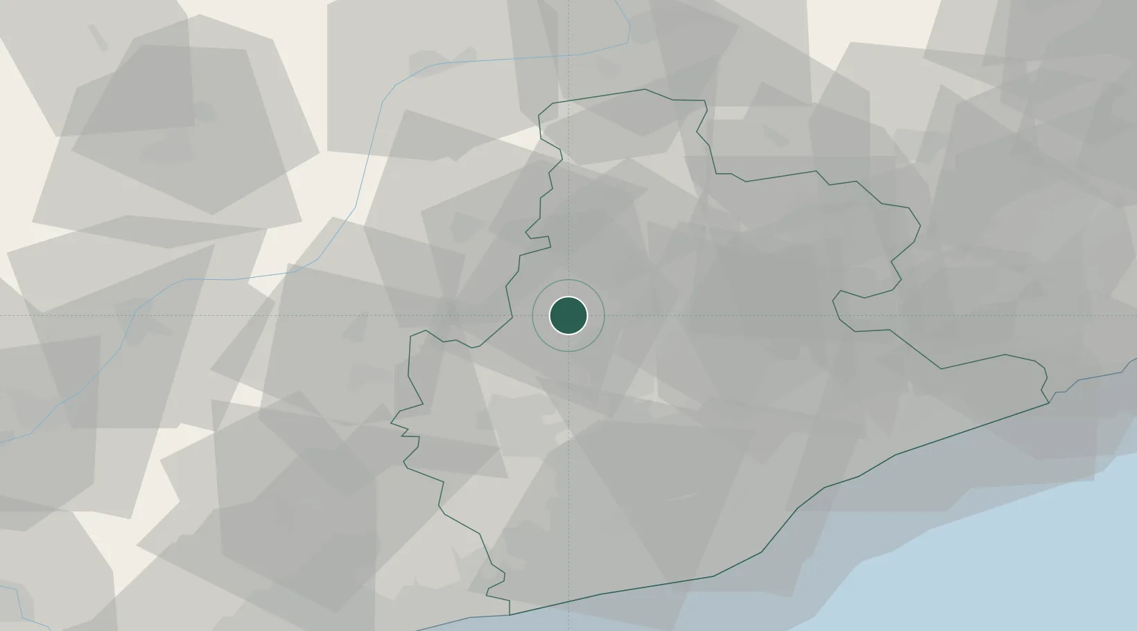
Hub Profile
Place type
Populated place
Region
Catalonia
Population
6,230
Time zone
Europe/Madrid
Elevation
281 m
Location
Nearby Logistics Neighbours
Cities
- 1Santpedor9 km
- 2Cabrianes14 km
- 3Rajadell14 km
- 4Sant Pere de Sallavinera18 km
- 5Avinyó18 km
Ports
- 1Barcelona64 km
- 2Villanueva Y Geltru67 km
- 3Tarragona92 km
- 4San Feliu De Guixols107 km
- 5Palamos113 km
Airports
Trade Zones
- 1Zona Franca de Barcelona63 km
- 2Depósito Franco de Tarragona90 km
- 3ZFU Perpignan135 km
- 4ZFU Toulouse199 km
- 5ZFU Béziers206 km
DatabookThe Record of Consolidated Knowledge
Spain beyond logistics?