Transport Functions
Rail
Road
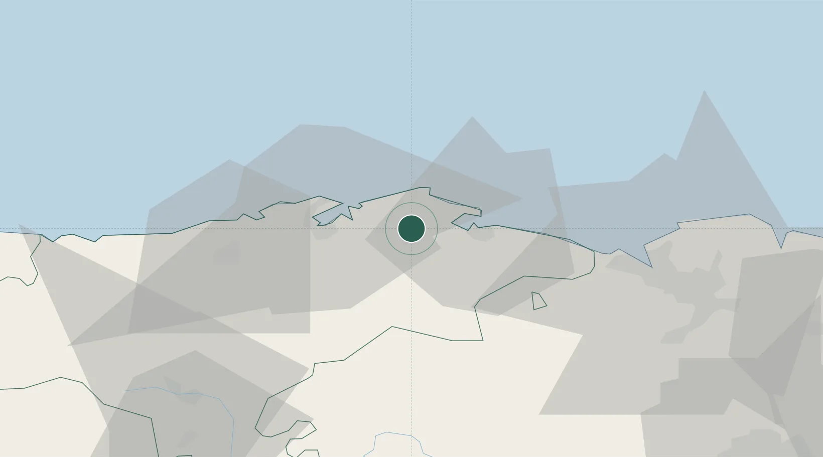
Hub Profile
Place type
Populated place
Region
Cantabria
Time zone
Europe/Madrid
Elevation
83 m
Location
Nearby Logistics Neighbours
Cities
- 1San Mames De Meruelo5 km
- 2Hoznayo9 km
- 3Cicero10 km
- 4Orejo11 km
- 5Solares11 km
Ports
- 1Santander16 km
- 2Puerto De Bilbao45 km
- 3Bermeo71 km
- 4Puerto De Pasajes135 km
- 5Gijon167 km
Airports
- 1Seve Ballesteros-Santander Airport18 km
- 2Bilbao Airport57 km
- 3Vitoria Airport93 km
- 4Burgos Airport118 km
- 5San Sebastián Airport146 km
Trade Zones
DatabookThe Record of Consolidated Knowledge
Spain beyond logistics?