UN/LOCODE hub · Spain
ESHZY

Hoznayo

43.3833°, -3.7000°
2
Transport functions

Transport Functions

Road
Multimodal
UN/LOCODE

Hub Profile

Region
S
GeoNames

Location

Location of ESHZY
Natural Earth 10m (public domain) · S · ESHZY · 43.38, -3.70GoogleOSMYandex

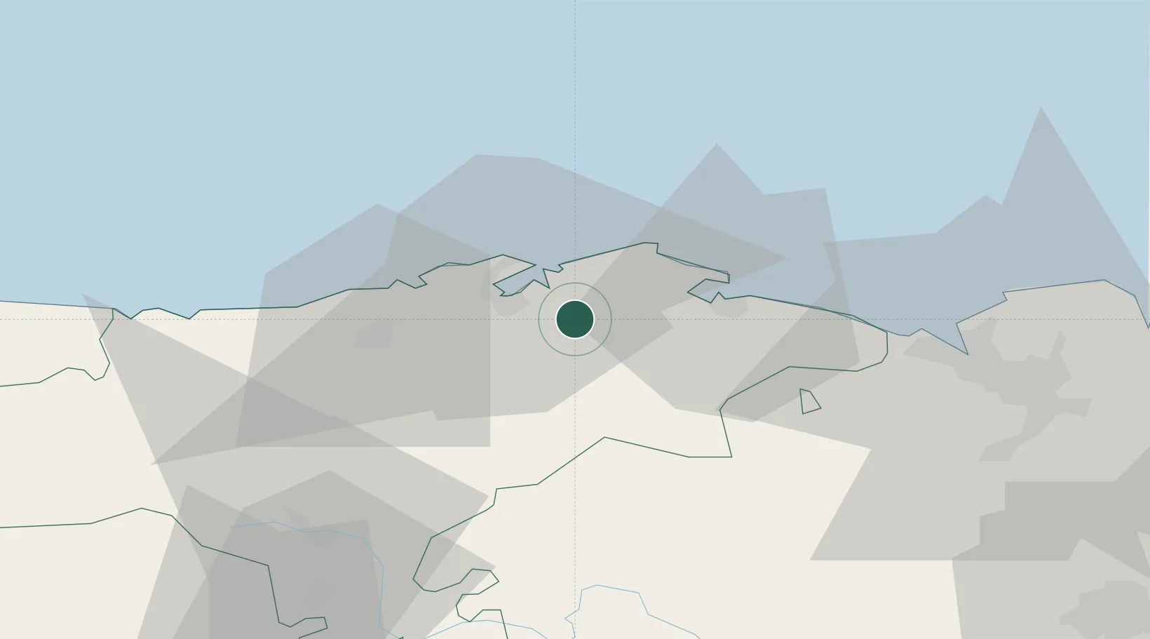
Nearby Logistics Neighbours

Cities
  1. 1Solares3 km
  2. 2Orejo3 km
  3. 3Sobremazas4 km
  4. 4Praves9 km
  5. 5El Astillero10 km
Nearest neighbours — logibook spatial index (haversine) over the source coordinates
Ports
  1. 1Santander12 km
  2. 2Puerto De Bilbao53 km
  3. 3Bermeo80 km
  4. 4Puerto De Pasajes143 km
  5. 5Gijon160 km
Nearest neighbours — logibook spatial index (haversine) over the source coordinates
Airports
  1. 1Seve Ballesteros-Santander Airport11 km
  2. 2Bilbao Airport65 km
  3. 3Vitoria Airport97 km
  4. 4Burgos Airport114 km
  5. 5Logroño-Agoncillo Airport152 km
Nearest neighbours — logibook spatial index (haversine) over the source coordinates
Trade Zones
  1. 1Zona Franca de Santander12 km
  2. 2Depósito Franco de Bilbao54 km
  3. 3Depósito Franco de Villafría (Burgos)113 km
  4. 4Depósito Franco de Pasajes (Guipúzcoa)144 km
  5. 5Depósito Franco de Gijón162 km
Nearest neighbours — logibook spatial index (haversine) over the source coordinates
DatabookThe Record of Consolidated Knowledge
Spain beyond logistics?
Browse databook

All Sources

LocationsUN/LOCODE
UN/LOCODE — free
Portsthe NGA World Port Index
Public domain (US gov)
AirportsOurAirports
Public domain
Trade Zonesthe World Bank SEZ database
CC BY 4.0
Trade ZonesOpen Zone Map
CC BY
← Spain locations