Transport Functions
Rail
Road
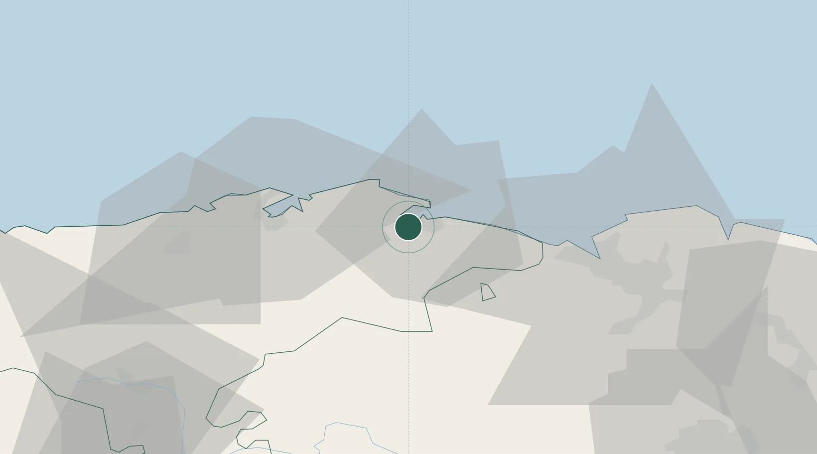
Hub Profile
Place type
Populated place
Region
Cantabria
Time zone
Europe/Madrid
Elevation
36 m
Location
Nearby Logistics Neighbours
Cities
- 1Bueras8 km
- 2Ampuero8 km
- 3San Mames De Meruelo9 km
- 4Praves10 km
- 5Hoznayo18 km
Ports
- 1Santander25 km
- 2Puerto De Bilbao36 km
- 3Bermeo62 km
- 4Puerto De Pasajes126 km
- 5Bayonne163 km
Airports
- 1Seve Ballesteros-Santander Airport27 km
- 2Bilbao Airport48 km
- 3Vitoria Airport84 km
- 4Burgos Airport116 km
- 5San Sebastián Airport137 km
Trade Zones
DatabookThe Record of Consolidated Knowledge
Spain beyond logistics?