UN/LOCODE hub · Spain
ESPBM

Penaranda de Bracamonte
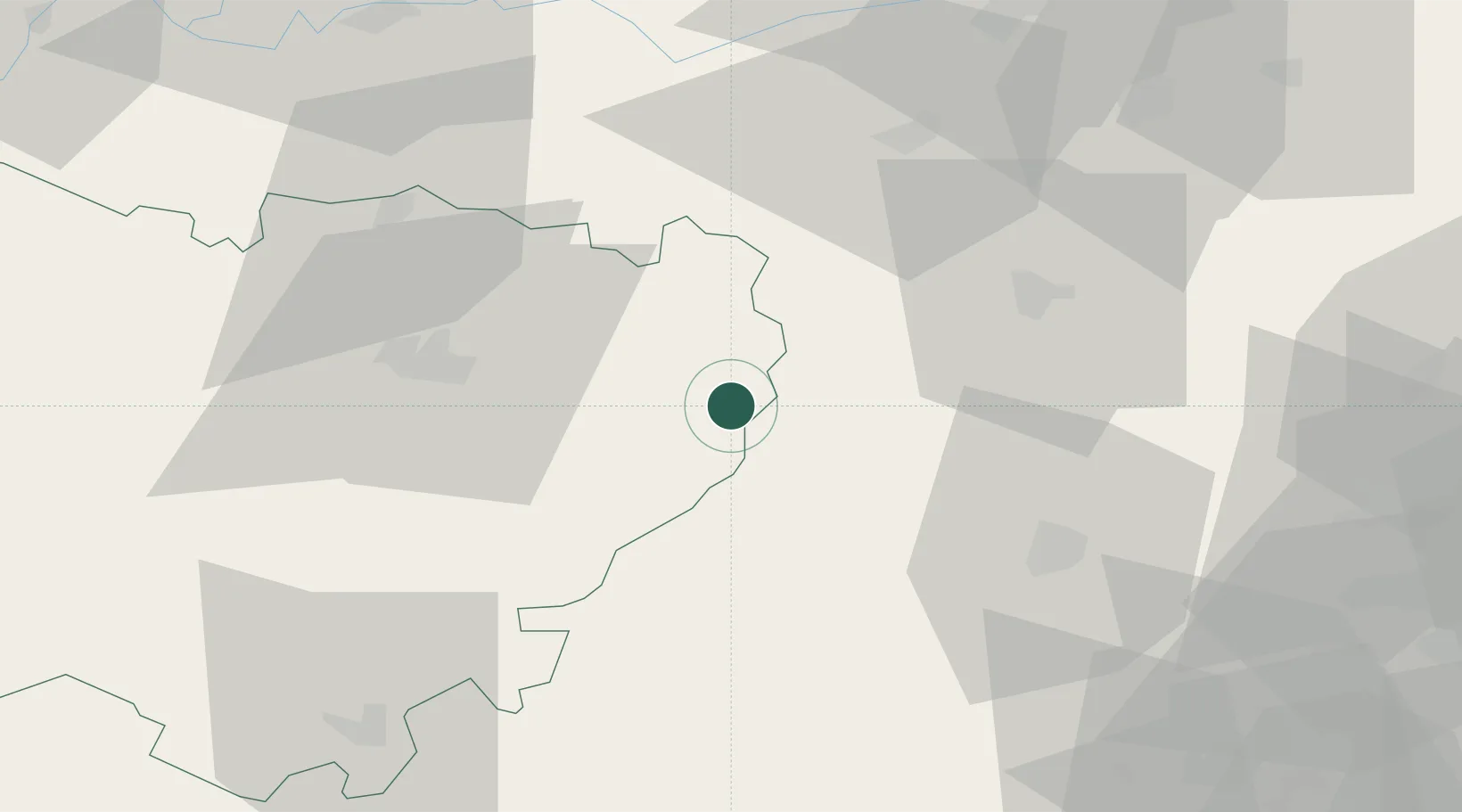
40.9000°, -5.1833°
6,260
Population
2
Transport functions

Transport Functions

Road
Multimodal
UN/LOCODE

Hub Profile

Place type
District seat
GeoNames
Region
Castille and León
GeoNames
Population
6,260
GeoNames
Time zone
Europe/Madrid
GeoNames
Elevation
908 m
GeoNames

Location

Location of ESPBM
Natural Earth 10m (public domain) · Castille and León · ESPBM · 40.90, -5.18GoogleOSMYandex

Nearby Logistics Neighbours

Cities
  1. 1Fontiveros19 km
  2. 2Gomecello33 km
  3. 3Moriscos35 km
  4. 4Pedrosillo el Ralo36 km
  5. 5Amavida38 km
Nearest neighbours — logibook spatial index (haversine) over the source coordinates
Ports
  1. 1Aveiro293 km
  2. 2Oporto294 km
  3. 3Porto De Leixoes297 km
  4. 4Gijon297 km
  5. 5Aviles307 km
Nearest neighbours — logibook spatial index (haversine) over the source coordinates
Airports
  1. 1Salamanca Airport27 km
  2. 2Valladolid Airport94 km
  3. 3Madrid-Cuatro Vientos Airport132 km
  4. 4Getafe Air Base140 km
  5. 5Adolfo Suárez Madrid–Barajas Airport143 km
Nearest neighbours — logibook spatial index (haversine) over the source coordinates
Trade Zones
  1. 1Depósito Franco de Madrid-Aeropuerto144 km
  2. 2Depósito Franco de Villafría (Burgos)204 km
  3. 3VGP Park Santa Maria da Feira284 km
  4. 4Zona Livre Tecnológica Masotinhos295 km
  5. 5Depósito Franco de Gijón299 km
Nearest neighbours — logibook spatial index (haversine) over the source coordinates
DatabookThe Record of Consolidated Knowledge
Spain beyond logistics?
Browse databook

All Sources

LocationsUN/LOCODE
UN/LOCODE — free
LocationsGeoNames
CC BY 4.0
Portsthe NGA World Port Index
Public domain (US gov)
AirportsOurAirports
Public domain
Trade Zonesthe World Bank SEZ database
CC BY 4.0
Trade ZonesOpen Zone Map
CC BY
← Spain locations