Transport Functions
Port
Road
Hub Profile
Place type
District seat
Region
Catalonia
Population
2,894
Time zone
Europe/Madrid
Elevation
16 m
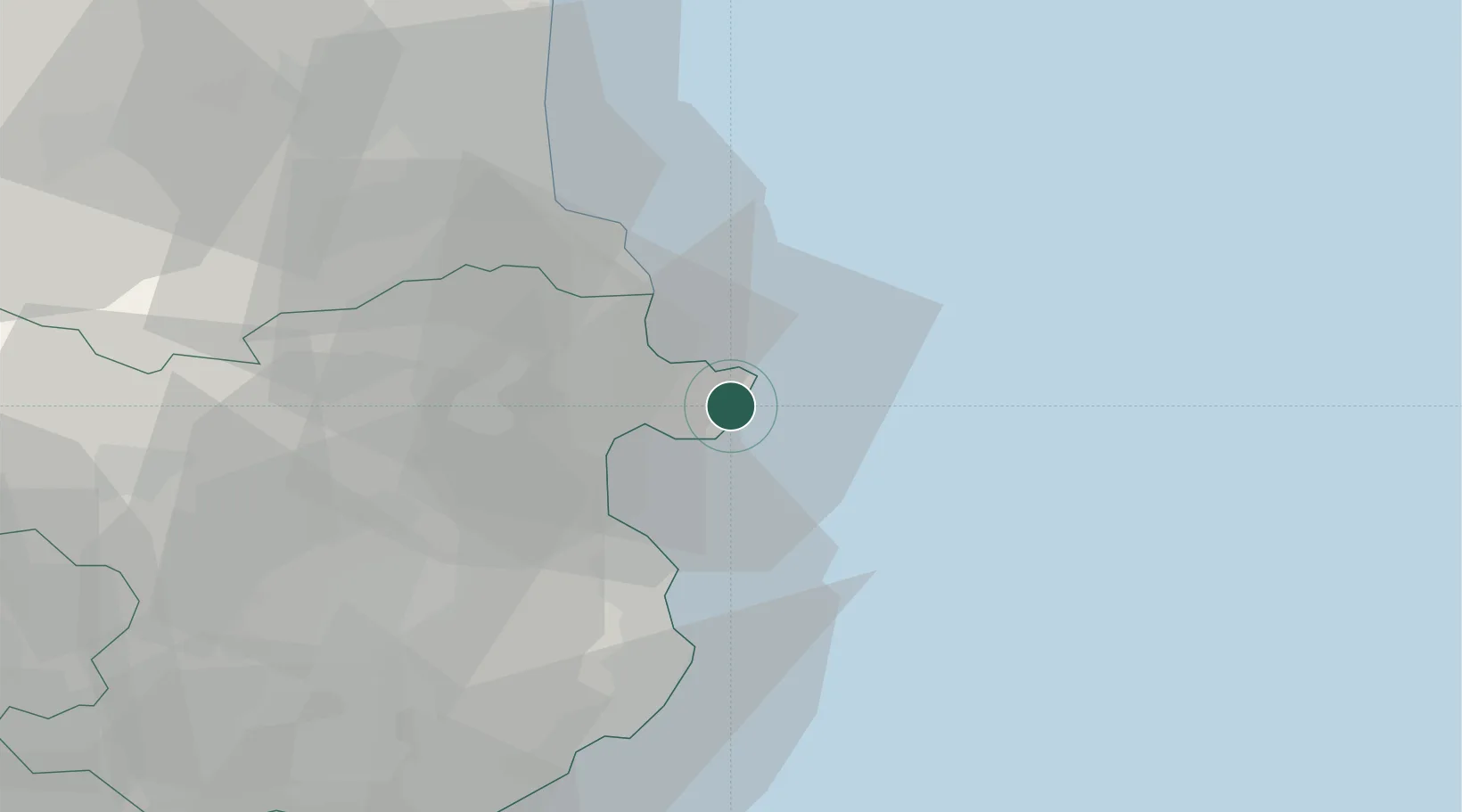
Location
Nearby Logistics Neighbours
Cities
- 1Puerto de la Selva9 km
- 2Empuriabrava13 km
- 3Castello d'Empuries17 km
- 4Garriguella19 km
- 5Port-Bou19 km
Ports
- 1Rosas8 km
- 2Port-Vendres29 km
- 3Palamos52 km
- 4San Feliu De Guixols59 km
- 5Port-La-Nouvelle83 km
Airports
Trade Zones
- 1ZFU Perpignan56 km
- 2ZFU Béziers117 km
- 3Zona Franca de Barcelona143 km
- 4ZFU Montpellier154 km
- 5ZFU Nîmes192 km
DatabookThe Record of Consolidated Knowledge
Spain beyond logistics?