UN/LOCODE hub · Spain
ESCEP
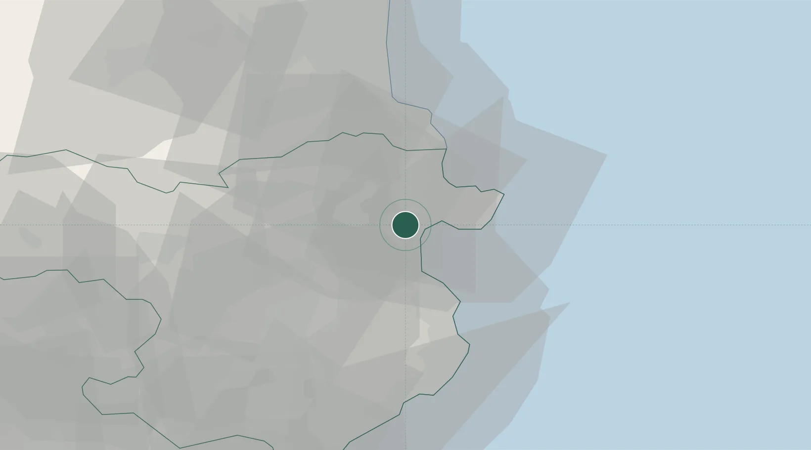
Castello d'Empuries
42.2500°, 3.0833°
12,111
Population
2
Transport functions
Transport Functions
Road
Multimodal
Hub Profile
Place type
Populated place
Region
Catalonia
Population
12,111
Time zone
Europe/Madrid
Elevation
15 m
Location
Nearby Logistics Neighbours
Cities
- 1Empuriabrava4 km
- 2San Pedro Pescador7 km
- 3Garriguella9 km
- 4Figueras10 km
- 5Vilamalla10 km
Ports
- 1Rosas8 km
- 2Port-Vendres30 km
- 3Palamos46 km
- 4San Feliu De Guixols52 km
- 5Port-La-Nouvelle85 km
Airports
Trade Zones
- 1ZFU Perpignan52 km
- 2ZFU Béziers121 km
- 3Zona Franca de Barcelona129 km
- 4ZFU Montpellier163 km
- 5Depósito Franco de Tarragona198 km
DatabookThe Record of Consolidated Knowledge
Spain beyond logistics?